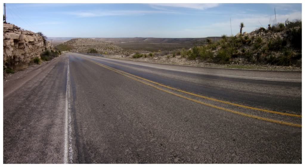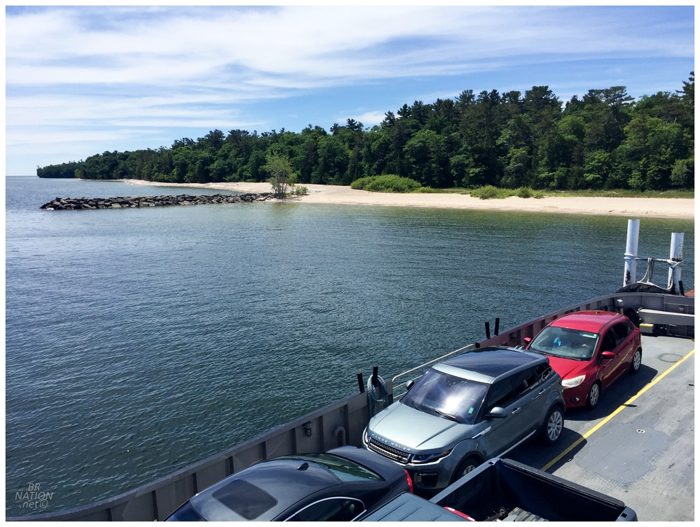
Leaving Northport for Washington Island
|
Following breakfast in Ephraim, the next hour and a half was uneventful as I cycled 25km (15mi) to the end of the mainland portion of the Door Peninsula. From here, there were now three inhabitated and numerous uninhabited islands that stretched out into Lake Michigan. The first was Washington Island, reachable via a 30-minute ferry that crosses the 5km (3mi) strait. There was a long line of cars because this is a first-come, first-served ferry; but after considering it for a few seconds, I went around them since I didn't exactly need a car space for my bicycle. I told you that a bicycle was the right tool for this adventure! |
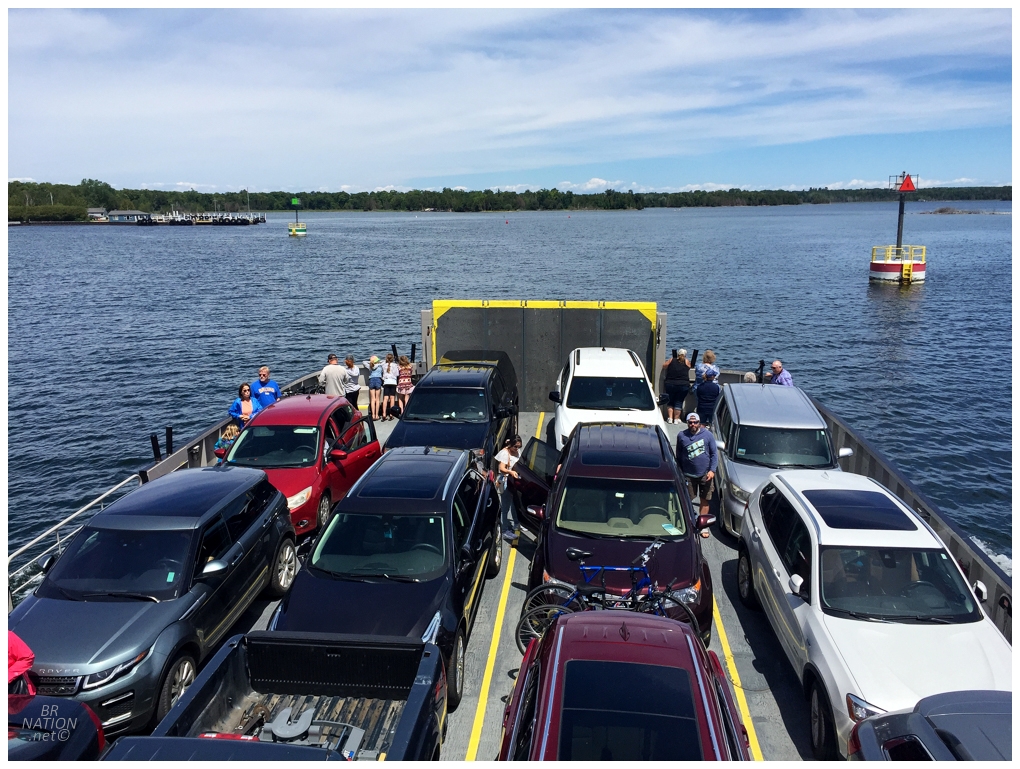
This strait is the Porte des Morts, or Death's Door, for which the Door Peninsula and Door County is named. There is some disagreement to the origins of the name, as some of the guesses include it coming from a Native American battle or possibly the French trying to keep away the encroaching English with scary place names. Either way, today's perfect conditions didn't have me fearing a tall robed man with a scythe. |
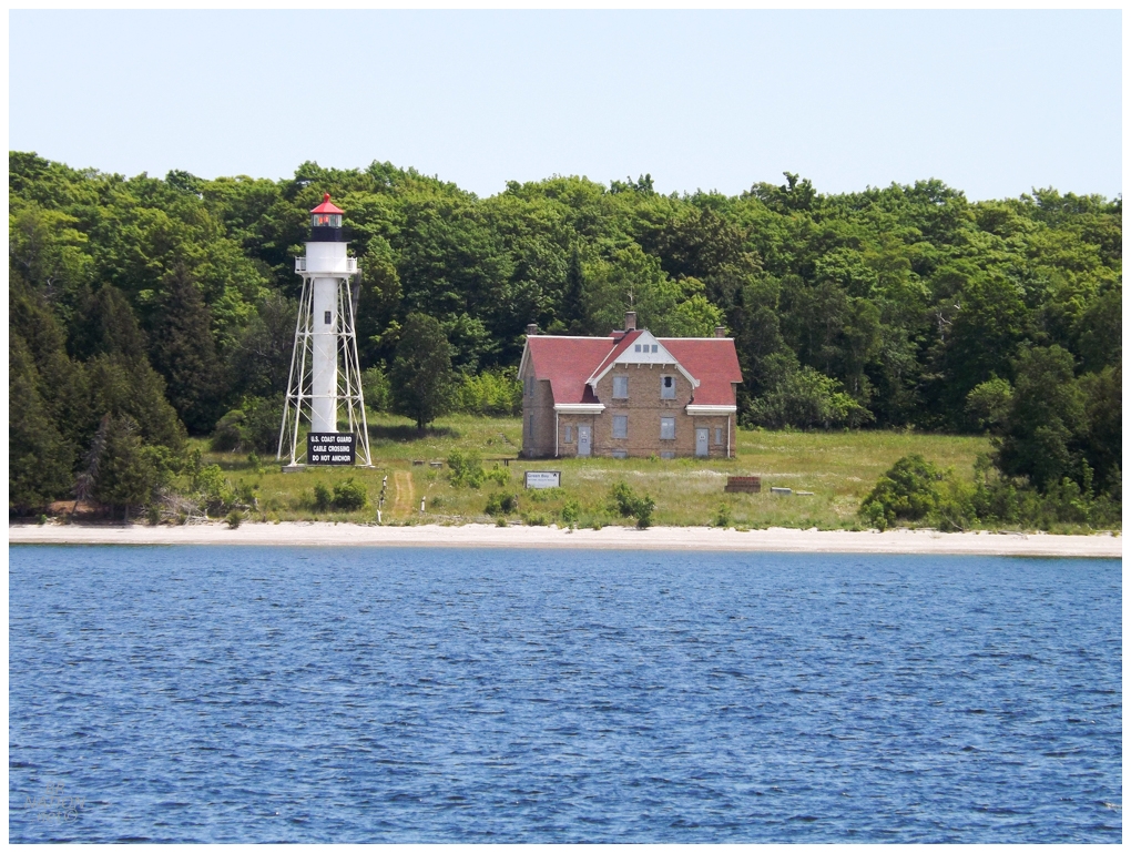
The Washington Island Ferry provided great views of a couple of lighthouses - even if it doesn't count if you don't stand before them. This is the 1897 Plum Island Range Rear that you can only reach by private boat...or if you come for that June or October Door County Lighthouse Festival (goodness do I need to get out here in June or October!) |
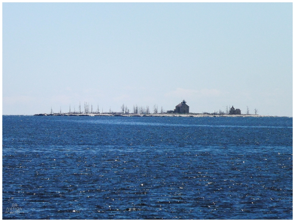
A much less significant island is home to the 1858 Pilot Island Lighthouse. Pilot Island isn't covered during the lighthouse festival, but a local group is doing restoration work which could provide a way out to the island. Or if you're not too scared of Death's Door, it seems that people do land on the island occasionally. |
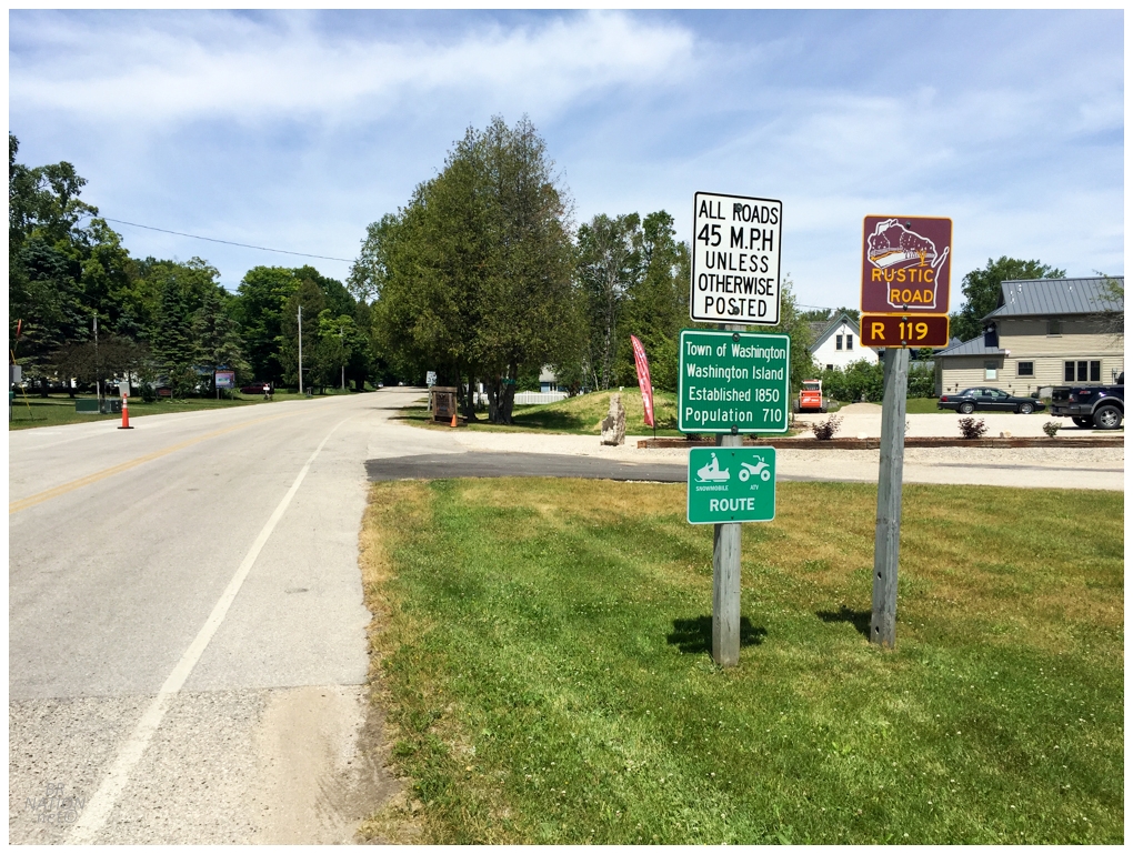
I normally hate posting pictures of lighthouses I don't count, so let's get back to what I actually achieved - riding on Wisconsin Rustic Road R119! With all of the cars quickly zooming off, the noise and pace was back to quiet and peaceful in no time. There was a wide shoulder and it was another fine day, both of which weren't necessary as I only had about a 20-minute bike ride to lunch. |
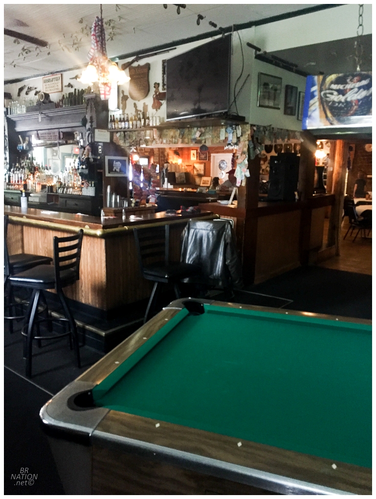
Washington Island only has 750 residents, but there's six bars/restaurants to serve them. Seeing that one of these bars was Nelsen's Bitters Hall, constructed by a Dane in 1899, I knew where I'd be having lunch. Throughout the short ride to Nelsen's, there were these flying bugs that I had to dip and dive like Ali. They seemed harmless enough when they'd land on me, but I also didn't know what they were. Sitting down at Nelsen's, I felt one crawl onto my neck and swiped it off onto the table. Before I could do anything about it, the waitress came over for my drink choice, while slyly and comfortably swiping the bug into her hand as she registered that I wanted a bottle of Spotted Cow. I appreciated that she didn't kill the thing and I figure these bugs have to be like June Bugs to use Essex County folks (where we're totally unfazed by them). Once she came back to take my food order, I said that I didn't see any outlets and I had hoped to charge my phone. The only spots were "out back" apparently, so she told me I had to trust her with my phone. I said that I didn't think she was looking to steal an iPhone 6 and she replied, "no, no, (chuckle), I am not." (If you're confused about my phone setup because I mentioned an iPhone 4 in the last update, I was using the iPhone 4 for texting/calling, while I was using the 6 for its better camera and ability to still have a recent enough iOs to download a couple apps.) |
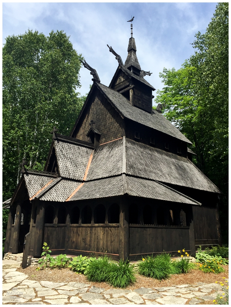
Just up the road from Nelsen's Bitters Pub was the Washington Island Stavkirke, or Stave Church. This church was built from 1991 to 1994 by the local Lutheran Church to honour the area's Scandanavian heritage. There were over 1000 stave churches in Norway back in the Middle Ages, but today there is only 28 left. |
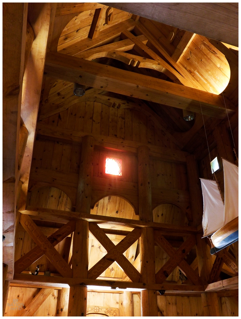
The interior was small and cramped and I found it hard to photograph. In hindsight, I should have focused on one feature instead of trying to squeeze against the back wall to capture a larger part of the interior space. |
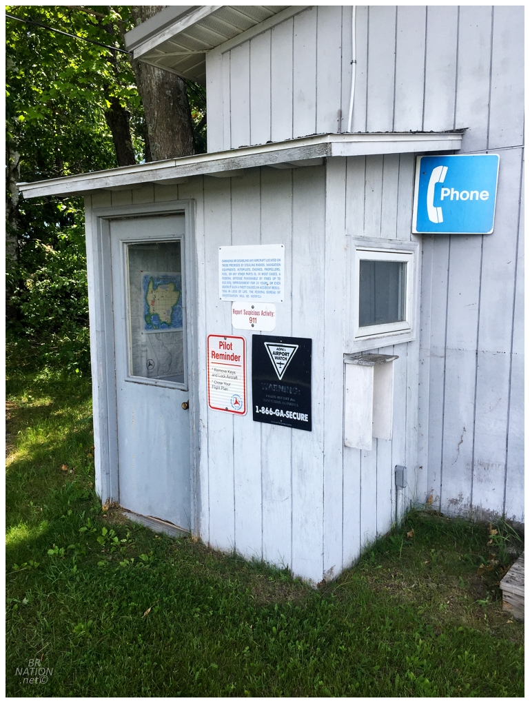
Things were pretty rural after lunch, which caused me concern in terms of finding any WiFi in order to text Shelley on my iPhone 4 to let her and my Mom know I'm okay. Oh yeah, my phone still wasn't working to text or call (only connect to WiFi for iMessage). Cruising along west-east on the Washington Island grid of roads, I saw that the upcoming road led to the local airstrip - and aren't airstrips one of the last places where there's still public phones? |
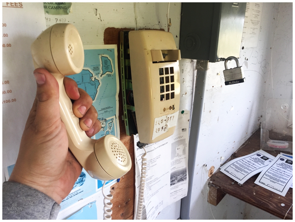
Score! It was quite nice having a quick catchup and hearing Mom's voice here at 2P2 Airport. |
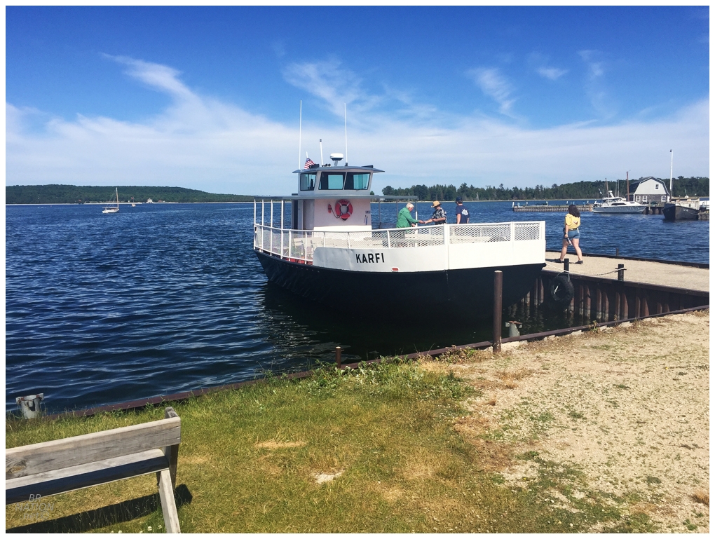
Cycling from Washington Island's southwest to the northeast was only 18km (11mi), so I was at the next ferry terminal in no time (even if it was more of a dock than a ferry terminal). In fact, there wasn't really anywhere good to store my bike since the next island didn't allow any vehicles. I was aware of this though and emailed the nearby Jackson Harbor Inn, whose owner said it was no problem to leave my bike there for the night. Shoutout to their friendly owner. Pulling off my panniers and sleeping bag, I was now back at the dock and mulled about for a bit as I was early. As for where I was going, I was going to the last island on the Door Peninsula - the uninhabited Rock Island, home to only Rock Island State Park and the Pottawatomie Lighthouse. |
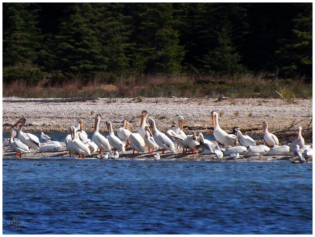
Turning the MV Karfi around for our 15 minute, 2.5km (1.5mi) ride, this is where I saw those pelicans all along a bar to the south of Rock Island. It was such an A HA! moment as I'd seen their flight style numerous times down in Louisiana. |
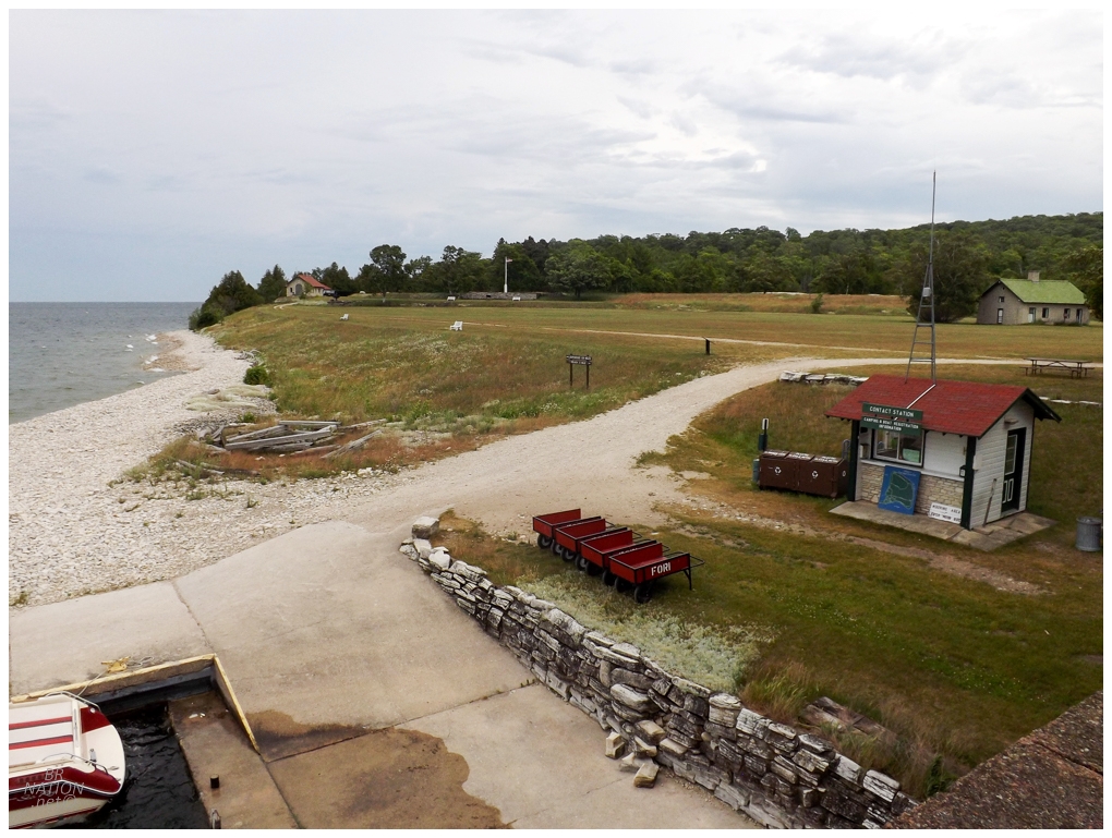
Landing on Rock Island, there were these little trailers that you could rent for $2 to bring your gear to your campsite. "It's only a half kilometre" I thought to myself, before then feeling my arms burn while still comicly close to the boathouse. I rolled my eyes at holding on to my $2 so tightly, but kept pushing on. |
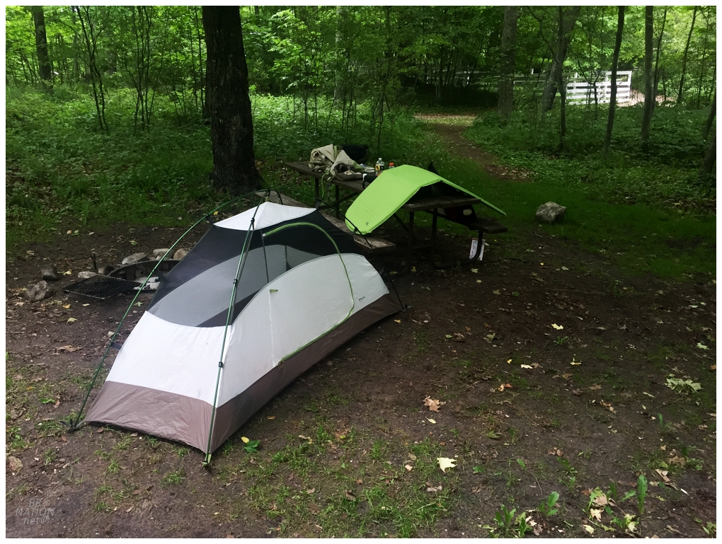
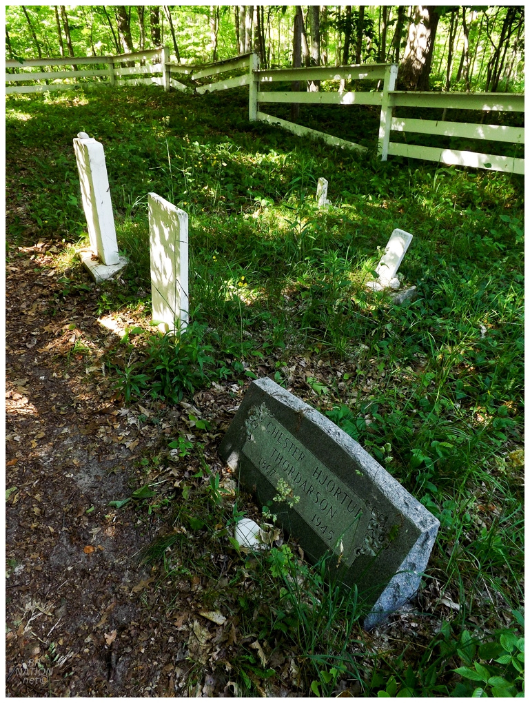
Looking at the campground map, I snatched up the site right next to the cemetery as I thought it would be cool to check out. The logos on the map were really similar for outhouse and cemetery and I wondered if any kook ever booked this site when they knew they couldn't handle sleeping next to a cemetery. Myself, I can't say I had any problems in the night with Mr. Thordarson. |
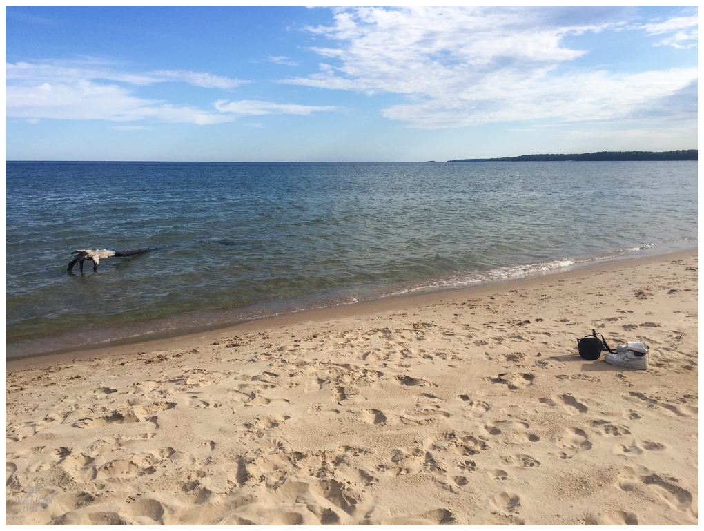
My campsite was also very close to the "sandy shoreline" on the map, so I headed over there to check things out and maybe dip my tired feet and calves in cold Lake Michigan. Hey, that log looks pretty comfortable and reachable? |
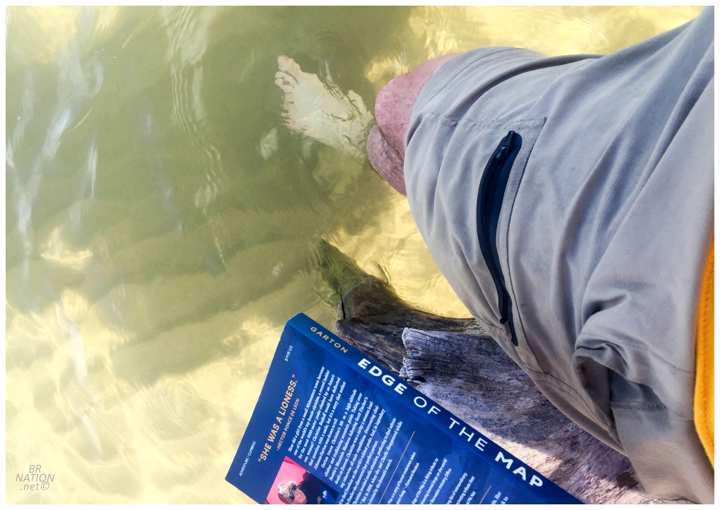
Rolling up my shorts, I carefully picked my way out to the comfy log with book and phone. Giving the log a shake, it seemed pretty stable, so I shuffled my butt on up and read for a short while. This was nice and relaxing. Eventually a crayfish appeared near my feet and surprised me as I didn't know there were crayfish in the Great Lakes. I would have liked a better picture and to maybe identify him, but I sure as shit wasn't going to pick him up with my bare hands. |
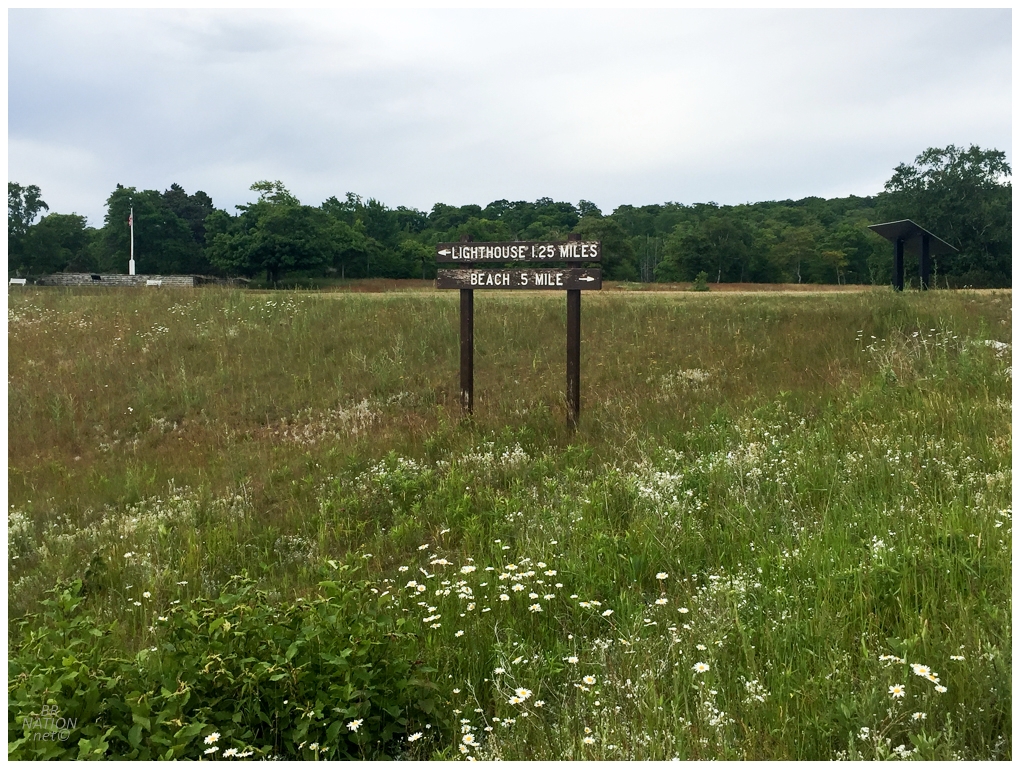
I laughed at this sign when I reached Rock Island and even posted on social media that this is the "easiest decision ever" - but then my phony baloney self went to the beach first, haha. I wasn't about to leave myself without enough in the tank to get to the lighthouse though. The Michigan Avenue Trail led back to the boathouse and then the Thordarson Trail Loop led along the shoreline up to the lighthouse. There were some great views over grassy meadows down to the water below, as well as some sections through tunnels of medium-sized trees. |
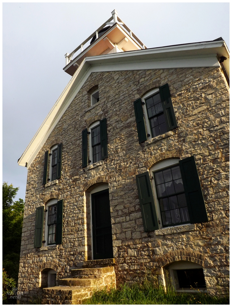
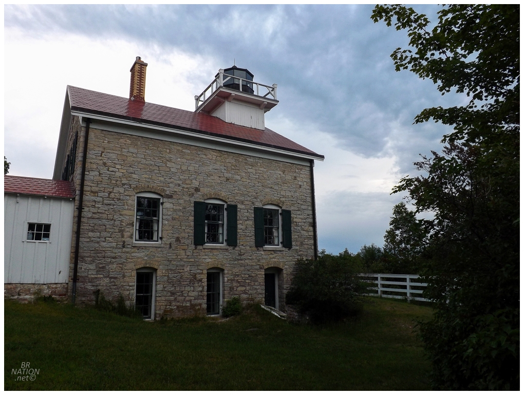
Popping out at the lightstation, this was the site of the first government-established lighthouse in the Wisconsin territory. This first lighthouse was constructed 12 years before Wisconsin would become a state in 1848, making it the first lighthouse in Wisconsin and the first Lake Michigan lighthouse. Unfortunately, subpar mortar was used in the 1836 lighthouse and it was discovered that moisture was making it into the lighthouse and leaving the structure under threat of collapse. The Lighthouse Board decided it made more sense to demolish the whole lighthouse and constuct a new one in 1858. This is the lighthouse that stands today. This makes either Green Bay's Long Tail Point Lighthouse ruins (1849) or the Apostle Island's Michigan Island Lighthouse (1857) the oldest lighthouse in Wisconsin (it depends on whether you cound the Long Tail Point ruins as a "lighthouse" - I do.) One funny thing about all of this faulty mortar was that the 1836 outhouse was built sturdy enough to survive these deficiencies. Therefore it wasn't demolished when the 1836 lighthouse was demolished and is instead, recognized as the oldest building in Door County. |
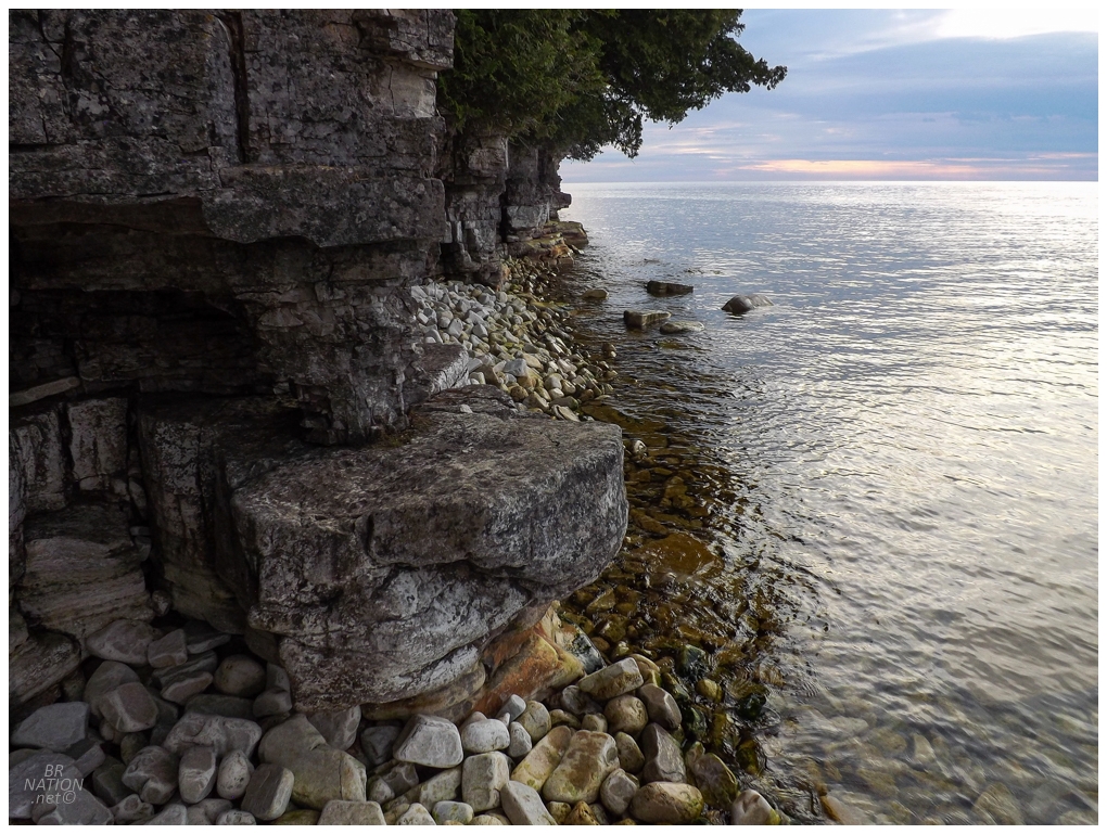
In front of the lighthouse, a steep stone and then wood staircase led down the limestone bluff and to the rocky shore of Lake Michigan. As someone who likes feeling like he is alone at the end of the Earth, I was very happy to find myself here. This was especially true with the cool evening light. |
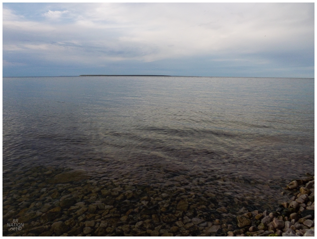
This is the end of Wisconsin and the Door Peninsula. Halfway across the water is Michigan and the island out there is Michigan's St. Martin Island (which has its own lighthouse). I happily pondered if the intrepid Michigan explorer Nailhed had ever laid eyes on this slab of Michigan :) |
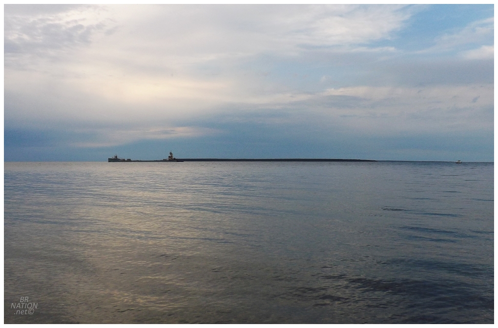
When the Wisconsin Territory was drawn up in 1836, it was stated that the Lake Michigan boundary between Wisconsin and Michigan was "the most usual ship channel" between Lake Michigan and Green Bay. Since there were two channels that were typically used (the Porte des Morts I crossed to Washington Island, and the one above), both Wisconsin and Michigan observed different channels in order to each claim Rock, Washington, Plum, Detroit & Hog Island. It was only the 1936 Wisconsin v. Michigan Supreme Court ruling that finally settled that the passage between Rock Island and St. Martin Island is the more common shipping channel. That's why today I was standing in Wisconsin and not Michigan. |
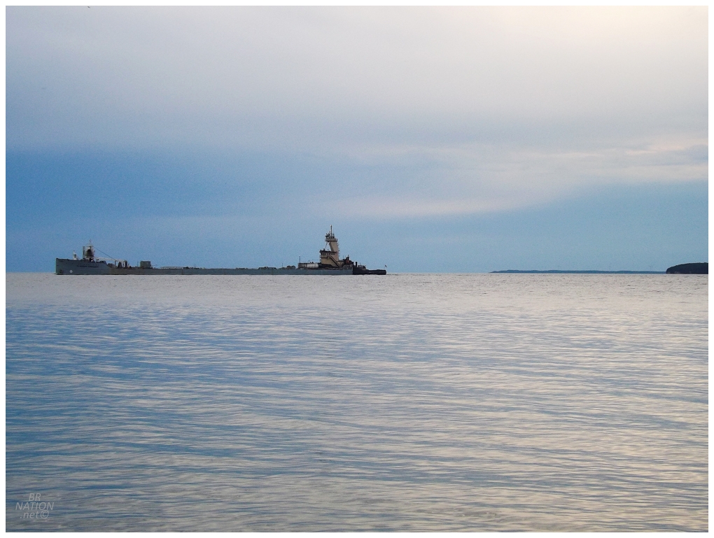
The St. Mary's Conquest agreeing with the Supreme Court and taking the Rock Island passage instead of the Porte des Morts passage. |
Sitting by the shore here was probably my favourite moment of the trip, so I extended it as long as I could in the day's fading light. Climbing back up to the lighthouse, I needed to get back to my campsite as I only had a cell phone flashlight with me. |
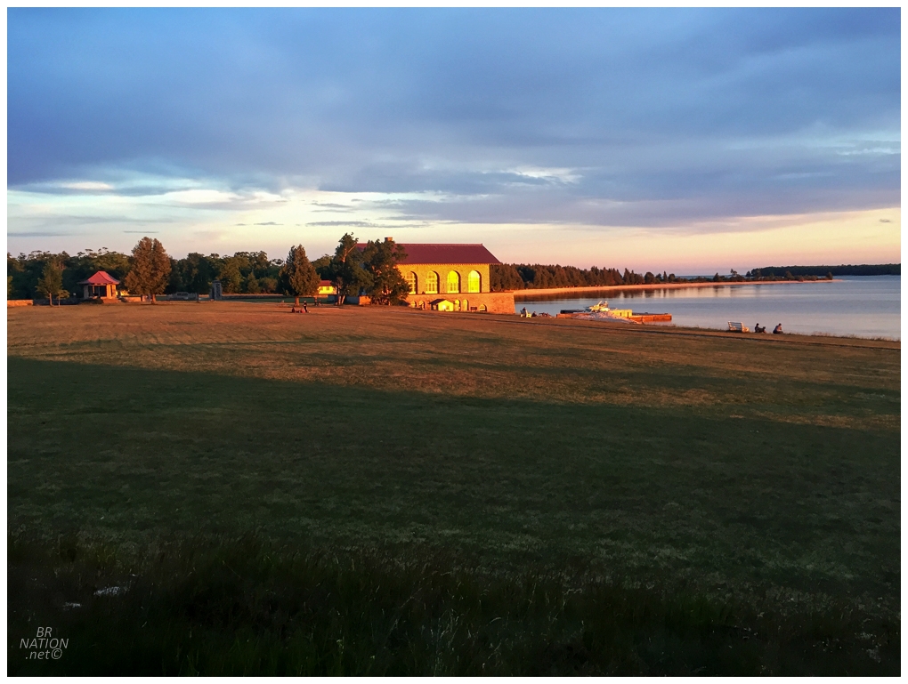
The day's last light shining on the boat house back at the ferry landing
If you're thinking that's a pretty fancy boat house, it's because almost the entirety of Rock Island was purchased by wealthy inventor Chester Thordarson in 1910. He built this boathouse, a water tower and an estate on Rock Island, to get away and then preserve all of the other land not cleared for his estate. Thordarson died in 1945 and the State of Wisconsin purchased the island from Thoradson's heirs in 1965. The estate doesn't exist anymore, but there were some steps and foundation walls. |
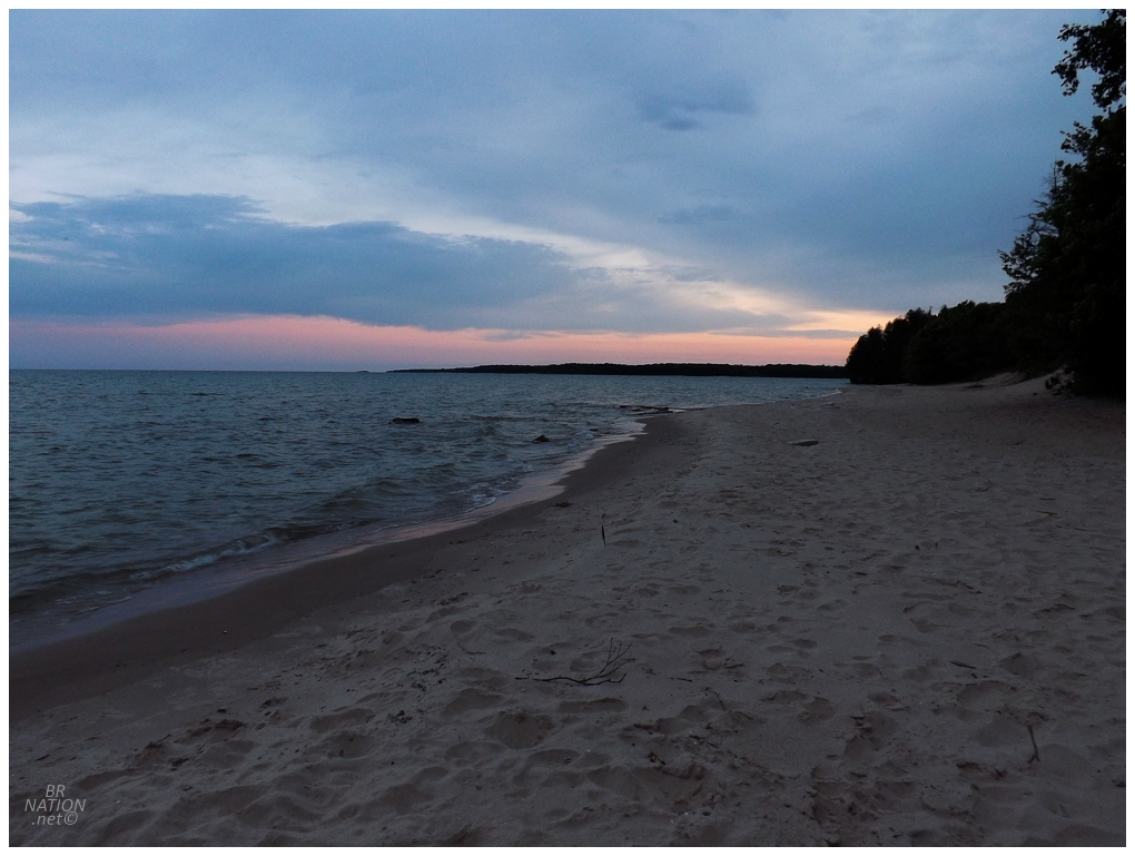
There was still a bit of light left on the beach near my campsite. I stayed up into the night as I couldn't put my book down and the temperature was perfect. Eventually squatting down into the tent, it wasn't long before I was asleep. Total cycling for Day 3: a meagre 48.9km (30.3mi). |
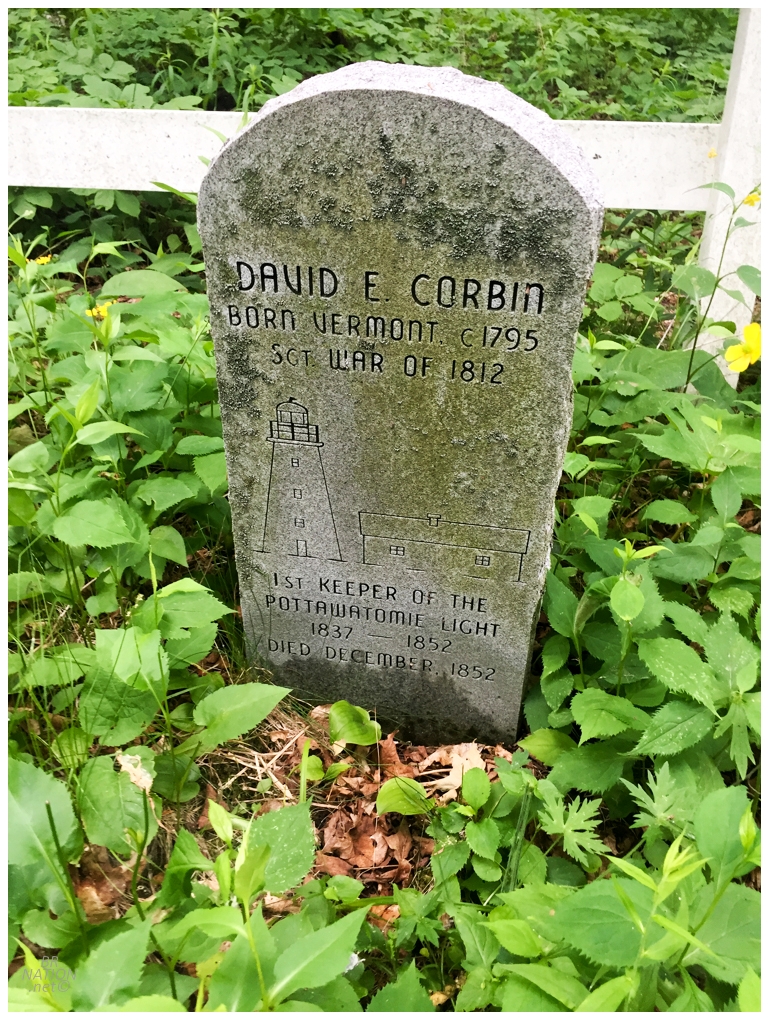
The next morning I went for a quick jaunt back to the lighthouse before my scheduled ferry back to Washington Island. Taking a different trail, I came upon the grave of the Pottawatomie Lighthouse's first keeper. By virtue of being the first keeper here, David Corbin was also the first Wisconsin lightkeeper and first lightkeeper on Lake Michigan. An interesting tidbit about Corbin is that when the lighthouse inspector visited Rock Island, he reportedly found the Corbin "sullen and lonely" and issued him a 20-day pass to "go find a wife". Corbin was unsucessful in finding a woman within the 20 days. If only he had game like some of us. |