With a Monday & Friday holiday coming up in the same week, it was clear that the correct move was to take 3 vacation days & have 9 days away from the office.
I considered a number of places, but didn't want to spend the amount of money it would cost to leave the Island of Newfoundland. Instead, I decided to finally see the rest of the Burin Peninsula, which is along a loop road which I had only seen 30% of previously.
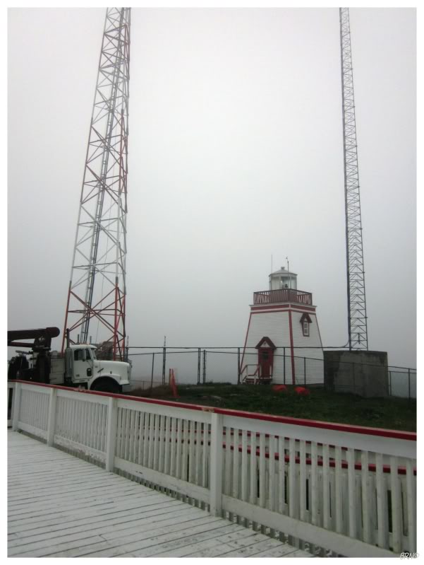
I drove all day to get to the Burin as it is just as far as the capital from my house. When I arrived in the evening, I snagged a campsite, got some dinner in Grand Bank & finally visited their lighthouse - which was always an annoying oversight, as I could have easily stopped here while killing time with Moxx in 2009.
Anyway, as I have quite a few skeletal towers left to see, it was nice that Newfoundland #50 was one of the interesting lighthouses remaining.
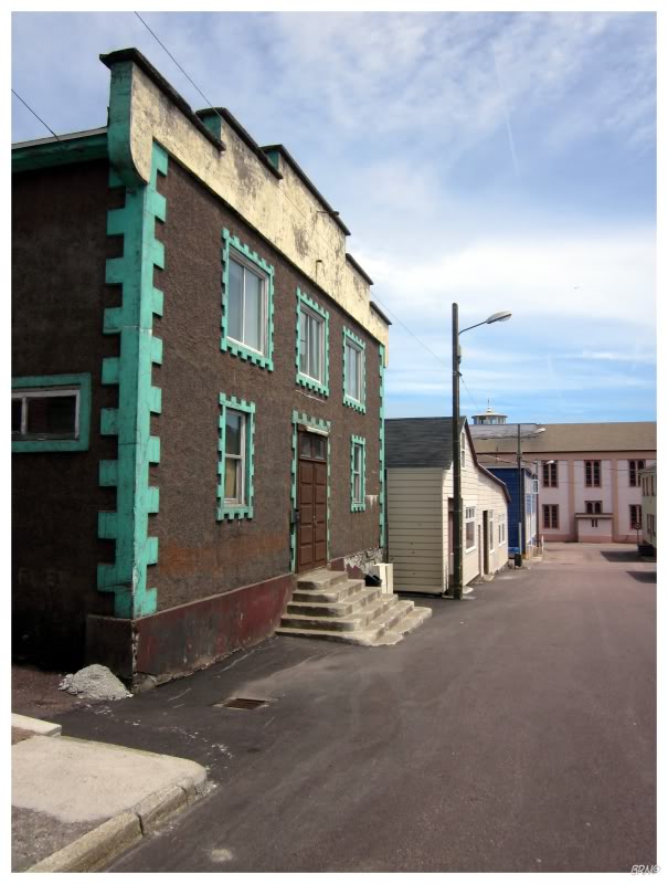
I ate breakfast back in Marystown & cruised the streets in the early morning.
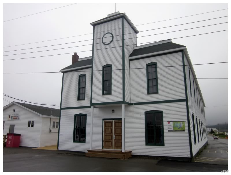
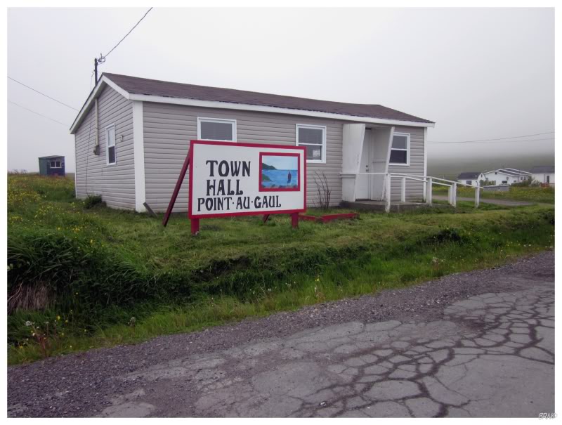
It was nice to have 9 free days & feel no rush while traveling. I could stop & take pictures of their St. Gabriel's Hall if I wanted to.
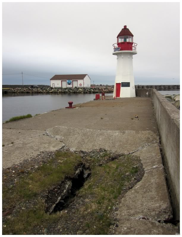
Rounding back around the Burin Peninsula, I drove past Grand Bank, past the town of Fortune, and onto a short gravel road to their lighthouse.
It was probably one of the more forgettable lights I've seen here. The design wasn't remarkable & the setting wasn't as dramatic as some of the other lighthouses in this province.
At least the fog was rolling in & made for a nice drive out to the Fortune Lighthouse.
The reason I didn't go any further past Fortune...was that I was going back to St Pierre et Miquelon!
I was going back because I never made it to the Miquelon portion of the island chain on the previous visit. I wanted to see Miquelon's impressive lighthouse & I wanted to see the smaller village of this French dependency.
The problem was that I woke up in the morning & walked down to the harbour to meet the tour guide - but was told that I was the only one who wanted to go to Miquelon that day & that he couldn't bring just one person.
So that was that.
I walked around St Pierre again, but it lost a bit of its shine as I was now sour & alone.
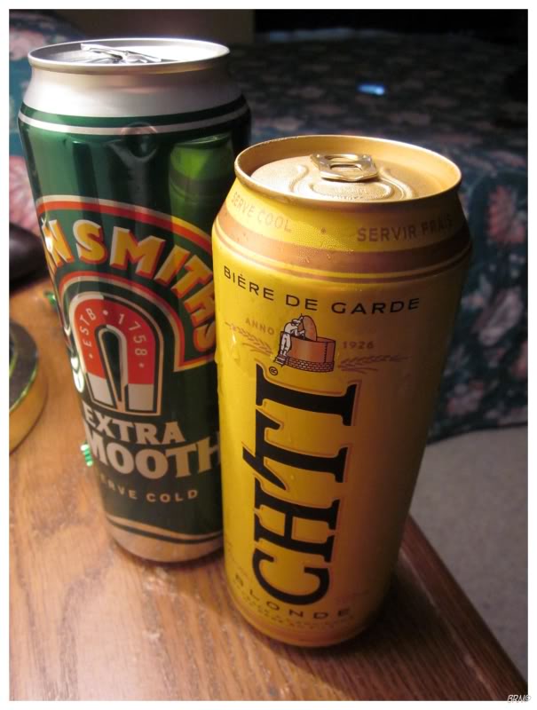
I ended up walking around until my feet were very sore, then grabbed a few strange beers at a smaller, neighbourhood grocery store. This was some consolation.
The John Smiths was smooth but very weak. The CHTI Blonde was awesome & I would buy lots of them if they sold them at the LC.
Another funny thing was at lunch where I tried to order something with my weak French skills; but ended up with a piece of toast with some strange sauce & a slab of salmon on top.
I then went out for dinner at another place & tried another option...only to get the same salmon toast! What the heck!
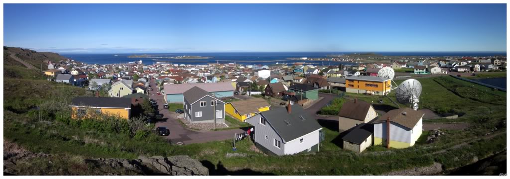
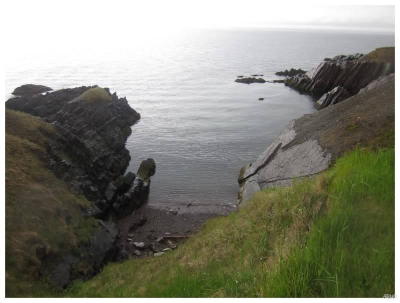
The weather was immaculate while I was in St Pierre, so I went for a walk into the hills overlooking town.
Even though I failed to get over to Miquelon, I tried to make the best of the situation.
Instead of spending two nights due to traveling to Miquelon, I only spent one night before returning to the Burin Peninsula. While on the ferry back to the Burin, I spoke with a woman who had been to Miquelon the day before...who told me that it was great & that there were 14 of them who went over! Bah!
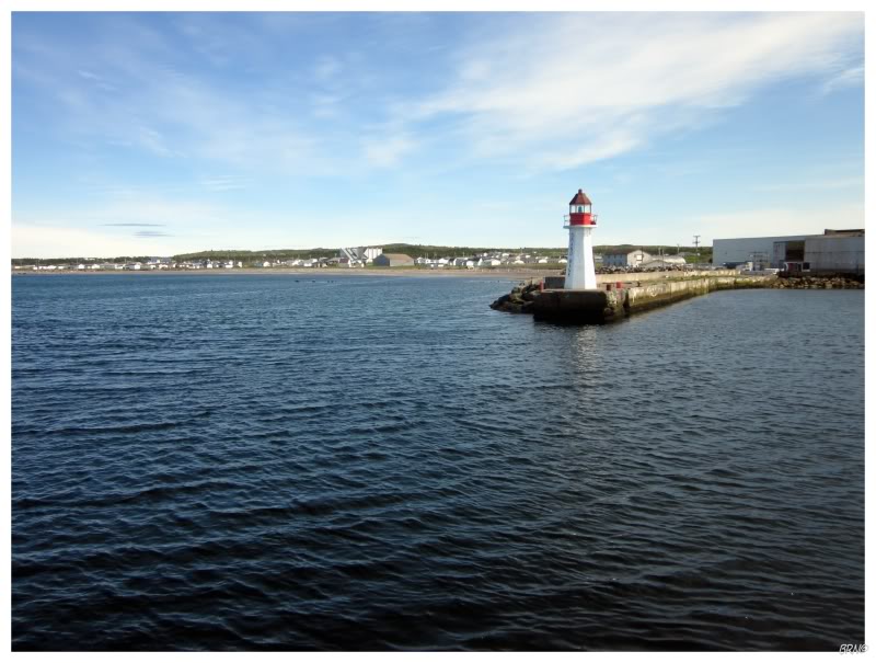
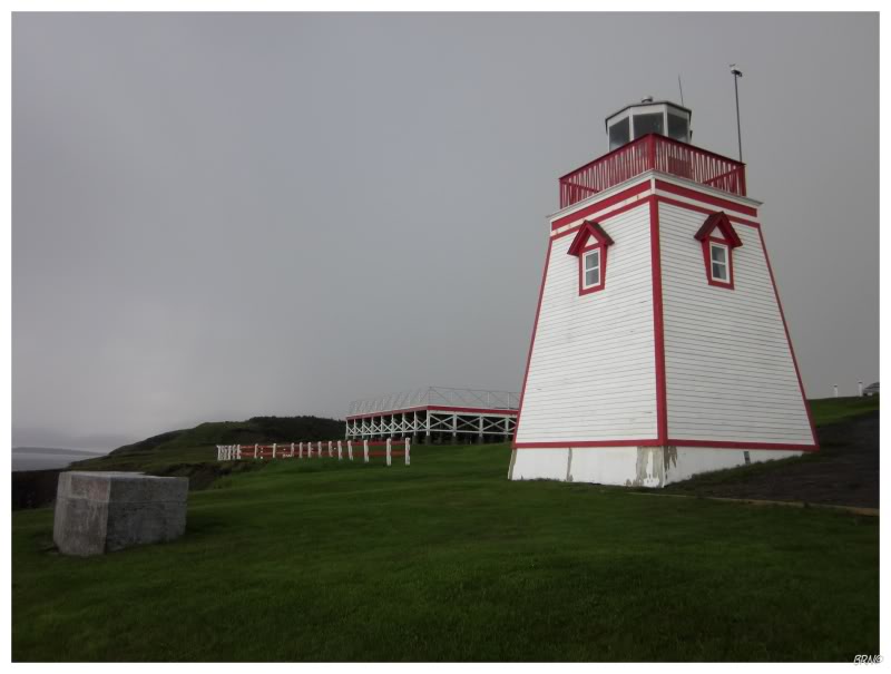
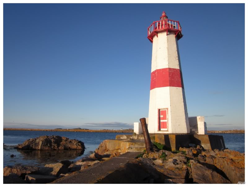
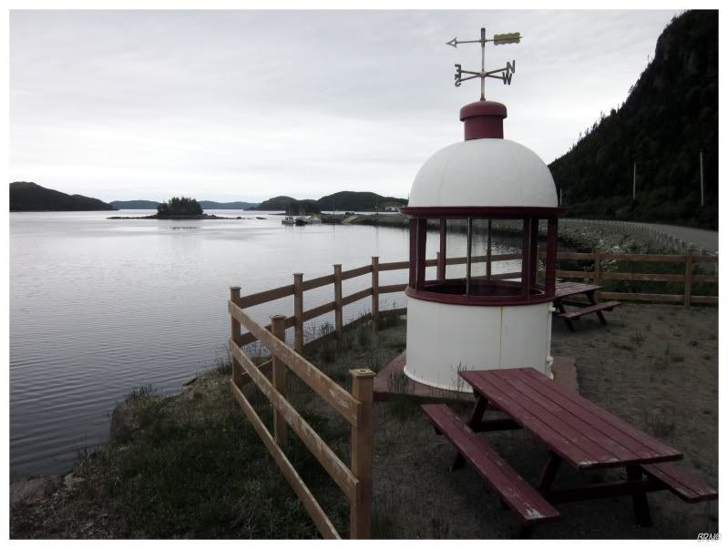
The St Pierre ferry lands in Grand Bank & provides a nice view of their lighthouse as you enter the harbour.
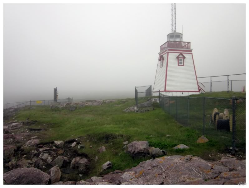
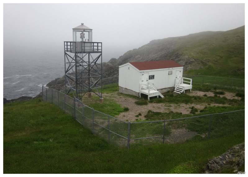
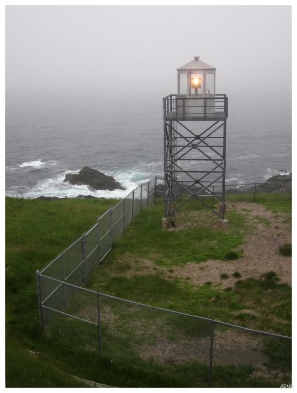
Leaving Grand Bank & passing Fortune, it wasn't long before the fog grew in intensity & eventually settled on a fair amount. After driving through Point May I came to Lamaline, where I knew there was a lighthouse.
This spot might have been hard to reach back in 1880 when the station was established, but the 2004 lighthouse isn't that difficult to reach - you drive across a causeway & onto Allan's Island.
The lighthouse was at the end of a very short gravel road & the wind was howling as I exited the car. Whereas it was pleasantly warm in St Pierre, I didn't last very long in Lamaline, with the frigid temps and cold wind coming off the ocean.
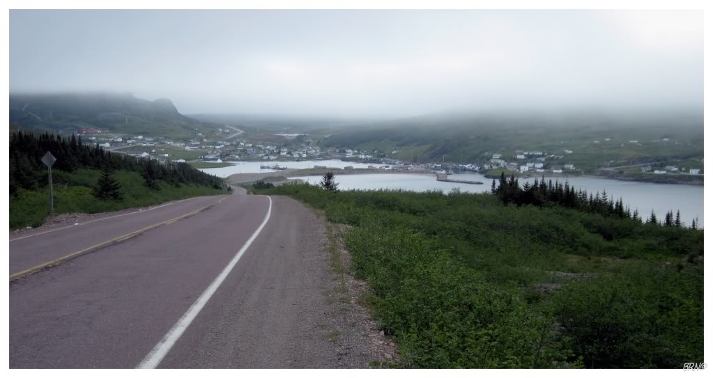
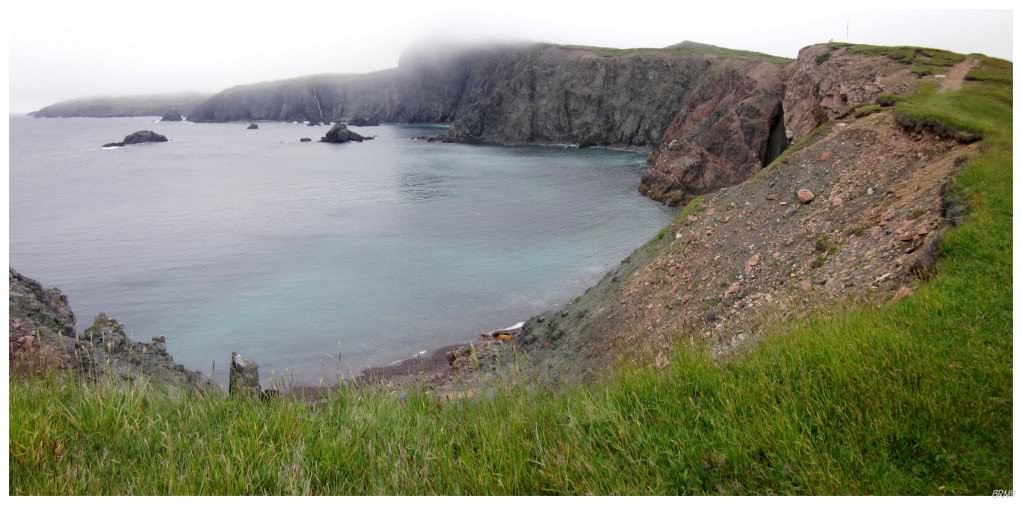
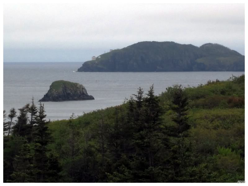
Leaving Lamaline, the fog and the wind were making the drive forgettable, but as I pulled into the community of Lawn, the view was so nice that the day's weather couldn't suppress it.
Not far after Lawn, there was another modest town by the name of St. Lawrence.
I knew the 4th lighthouse of this trip was just 3km south along a rough gravel road. This drive was wearisome as the road was far longer & rougher than the previous two at Fortune & Lamaline. The Middle Head Lighthouse road was rutted & barely wide enough for my car. Whereas I had been having recent problems with my car, suddenly I was in this desolate landscape with rolling hills, scrapping branches, foggy surroundings & large ruts trying to make my car bottom out.
It didn't seem like a good place to break down, but my car didn't get much rest anyway. The weather wasn't much better than at Lamaline, so I left Middle Head within a few minutes.
Afterward, I wandered the gravel roads around St. Lawrence because I knew there was mining activity here in the past. If you look at a topographic map of St. Lawrence, the paper is dotted with shovels & pitchforks, with the word 'abandoned' beneath that mine symbol.
While on those back roads I found a shipwreck trail. Seeing as during my research I hadn't come across any shipwreck pictures, I knew there wouldn't be one out here - but I decided to walk the trail anyway.
After a 10 minute hike along the shore of the Atlantic, I came to the shipwreck location of the destroyer U.S.S. Truxtun & the supply ship U.S.S. Pollux (above). The U.S.S. Wilkes destroyer also ran aground during that snowstorm, but was able to change its course & escape the coast, before continuing to the naval base at Argentia.
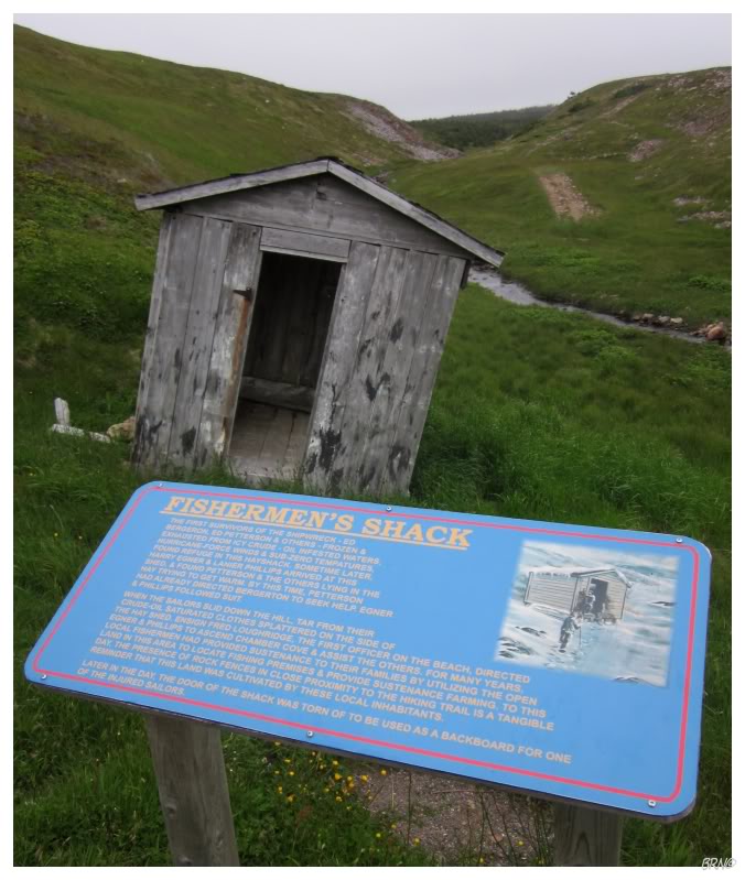
203 sailors died that day. 186 sailors escaped the stormy, oil-ridden sea and saved themselves by reaching land.
As the sailors reached the land & went in search of help, some of them gathered in a fisherman's shack to utilize the hay to keep warm. The shack is even missing a door because they used it as a backboard for an injured American.
It's surprising that the shack has survived this long and is now in a state of disrepair.
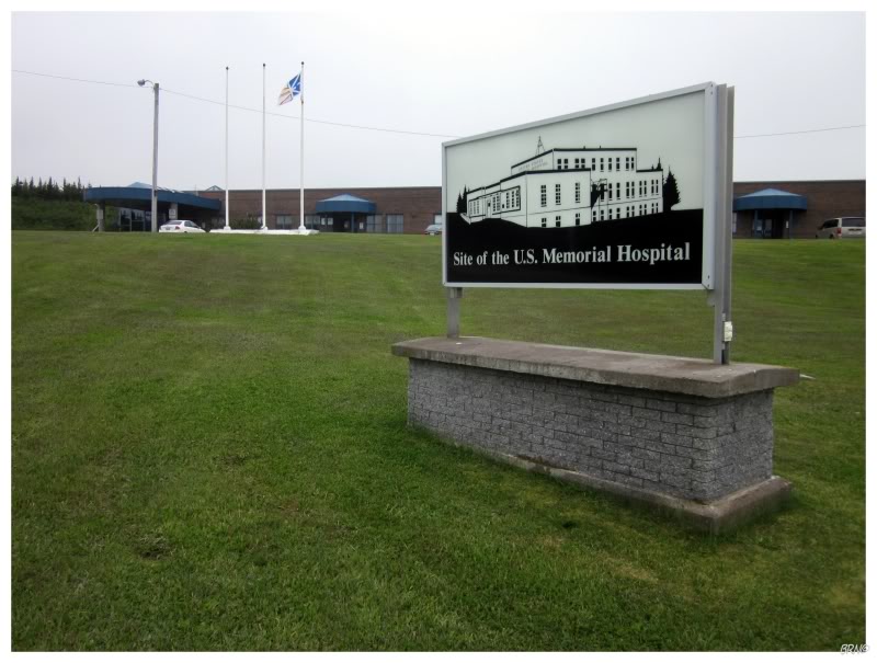
The number one reason more men didn't perish that day was because the residents of St. Lawrence & Lawn rushed to save them. As word spread, the residents left their mining jobs & their homes, to do anything to try & save their fellow man. They went into the stormy seas in dorys to pull the men out of the water & they housed the men in their homes until they could be transported to the naval hospital at Argentia.
The Americans later built a hospital for the region, to show their appreciation for the Newfoundlander's caring character in saving their men.
(Unless they renovated the American-constructed hospital, the one currently on the site looks like a replacement.)
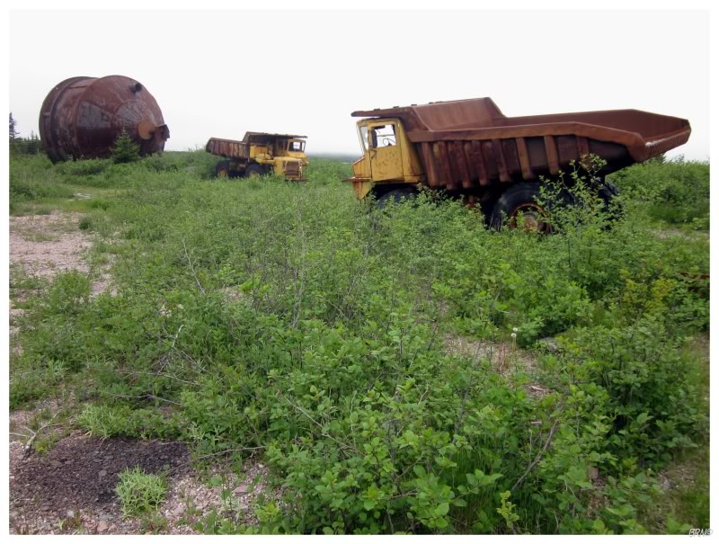
In regards to the mining history, I didn't find much besides some vehicular junk & a few concrete footings.
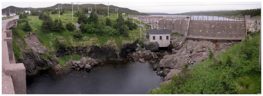
Dam in Little St. Lawrence.
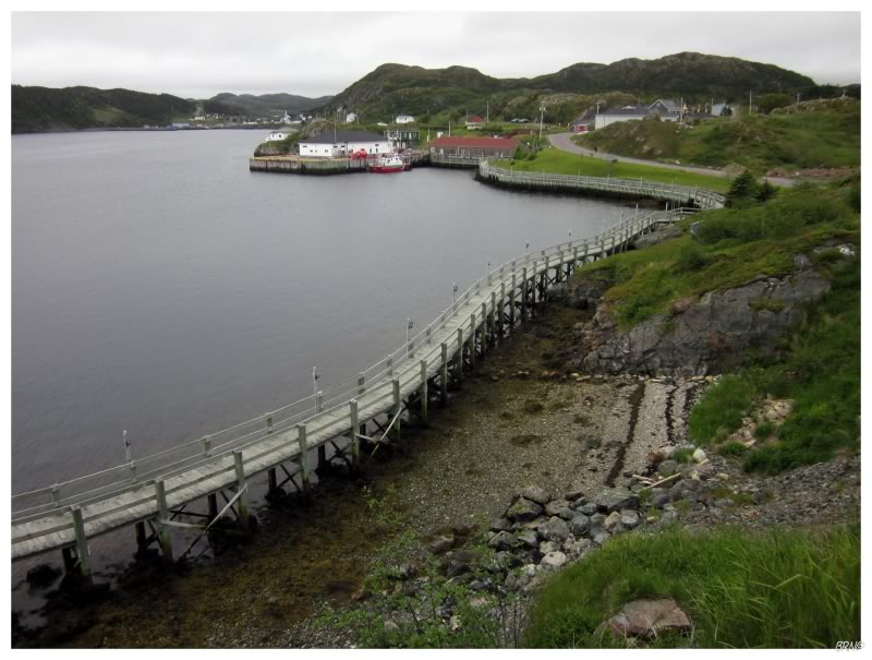
Continuing along, I came to the town of Burin & found a sizable community.
This excited me as this is the 2nd-to-last town I haven't seen on this island (only Eastport to go now).
At Burin, there is a lighthouse off of the coast and I wandered into a dump/quarry to get a closer look.
I looked around town for anyone out in their boat, but I quickly cowarded out of asking anyone for a lift to the island - which is clearly a great decision considering that this town is over 700km (~450mi) from Corner Brook.
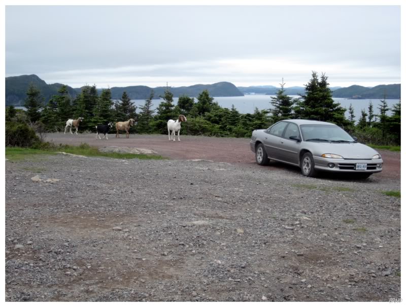
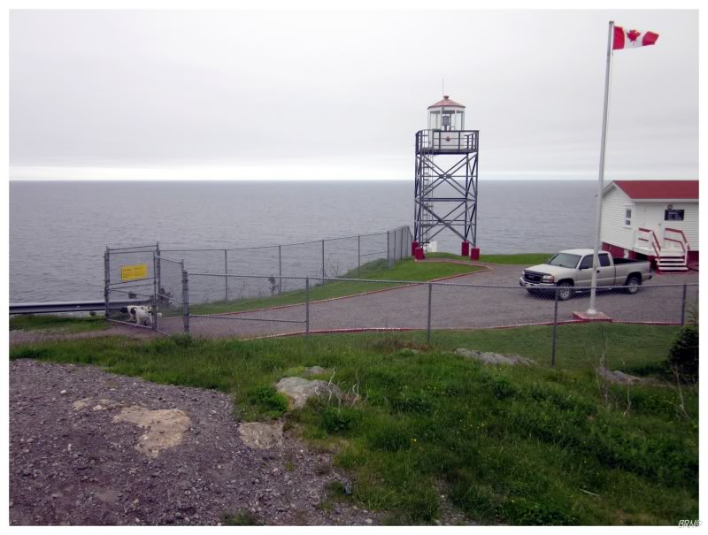
The last lighthouse of the trip would come at Tides Cove Point, which is 12km northeast of the town of Burin.
As I rounded the paved road onto the gravel, I was quite surprised to find lighthouse goats. They surrounded the Intrepid briefly and inspected the coupe, then agreed that it was luxurious enough to pass.
I didn't spend very long at Tides Cove Point since smoke was emanating from somewhere on my car & I didn't want to get stuck out there.
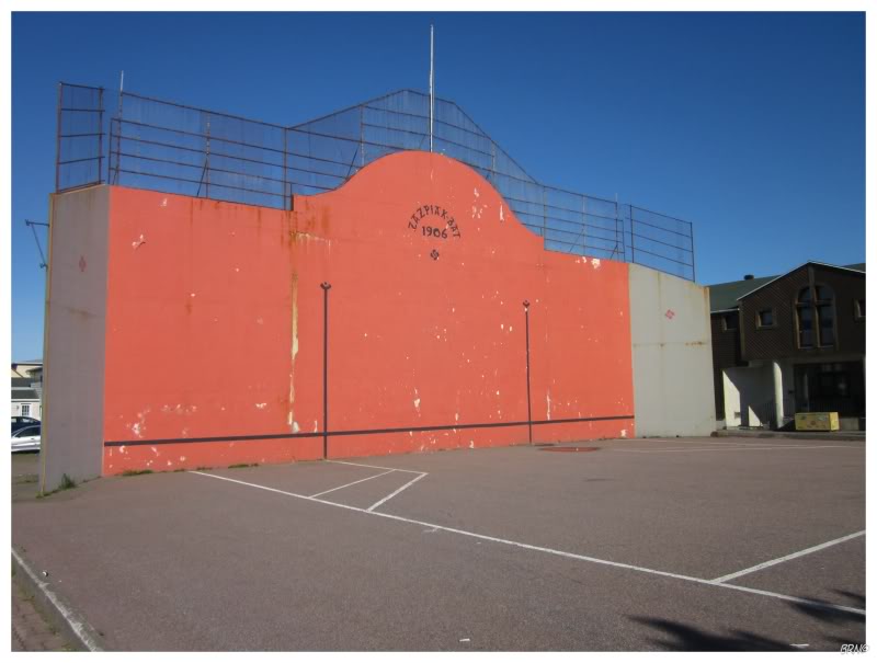
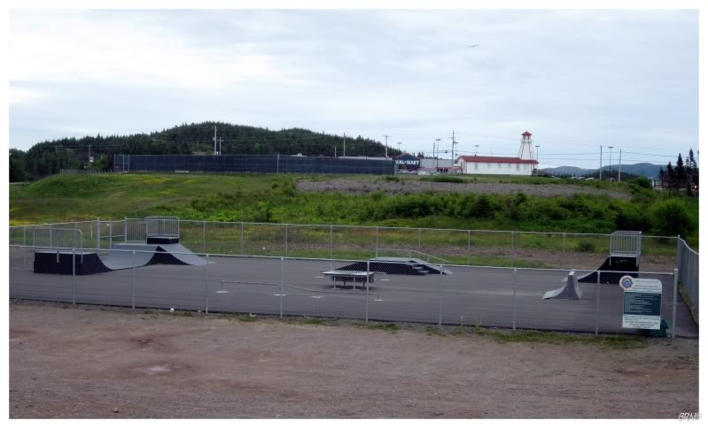
I resolved to drive back home, but I knew I would need gas in Marystown - so why not keep my plans of stopping at their new skatepark as well?
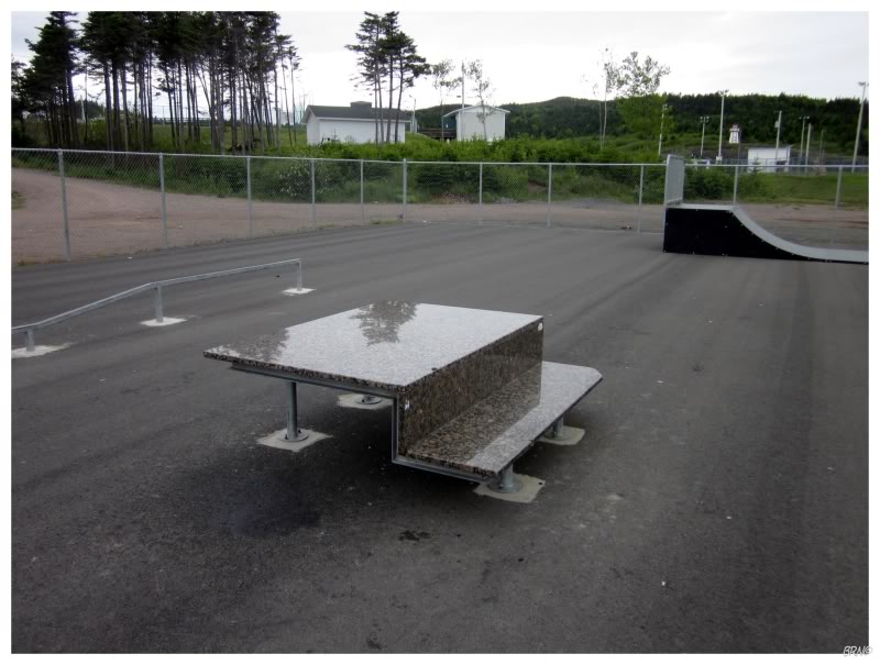
It may not look like much to you mainlanders, but I was really excited by this fresh, satisfactory park.
The only thing I wondered about, was who decided kitchen top marble was a good idea for a picnic table surface: it already had cracks in it and I can't imagine it lasting that much longer (especially not through winter).
I rode on top of it, but decided against grinding & roughing up the poor kids' kitchen top.
As for the rest of the park, I'd give it a 5 - meaning it's the 4th best park in the province.
Another part of my plan was to drive the 17km (10.5mi) to Petit Forte & take the ferry over to South East Bight.
Once I got there I decided against going alone to the outport community. I was feeling lonely & sour & didn't much feel like enduring the questions & stares which come from someone wanting to visit one of those remote communities.
Petit Forte wasn't a complete wash though - the road went through a scenic river valley & I also visited the lantern room of the Long Island Lighthouse. You see, there was a lighthouse on an island 6km off of these shores for 101 years, until it was destroyed in 2004. The lantern room from this lighthouse was then moved here to Petit Forte, the closest community with road access.
I really wish they would do this with more of the lighthouses they destroy...
Anyway, I started towards home, but I did stop for the Trinity Loop.