After the success of our 2010 winter trip to Fogo Island, Nicole & I set about planning another winter excursion.
We left work on a Friday & made it to Grand Falls by dinnertime. We wanted to see the local Cataracts hockey team play, but it was a playoff game & we soon learned that we could only get standing room tickets.
Neither of us wanted to stand all game, and it was to the point where I actually approached a disinterested-looking, seated couple & offered them $60 to trade us tickets. After that failed, we watched another period, but eventually grew tired of trying to peer over the people standing in front of us.
Even though that was a slight failure, it was still pleasing to see the interior of that arena & to be in Grand Falls-Windsor.
The winter trip was off to a satisfactory start.
Our main weekend destination this time was Twillingate, a place I've visited before, but one which I enjoy.
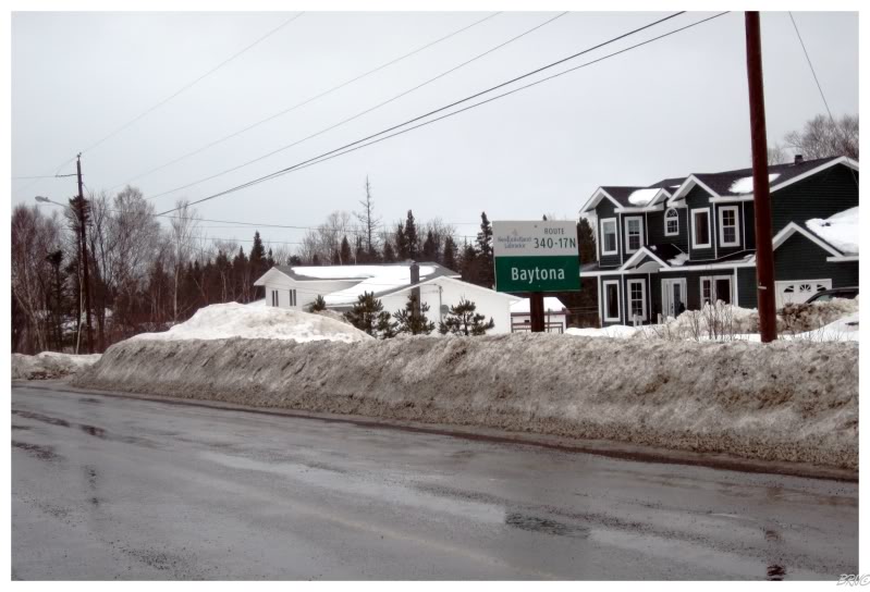
The added incentive was that there are a few communities around Twillingate which I haven't seen - communities like Baytona.
A funny story about Baytona is that it used to be called Gayside, but they decided to change the name in the 80s due to the teasing & harassment of other nearby towns. Apparently the mayor's granddaughter liked Daytona Florida...and therefore suggested Baytona as a replacement.
I personally like places with strange names, but Baytona is strange enough to still grab your attention.
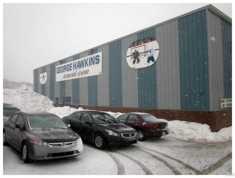
The weather was murky in Baytona, but grew nastier and more treacherous as we approached Twillingate.
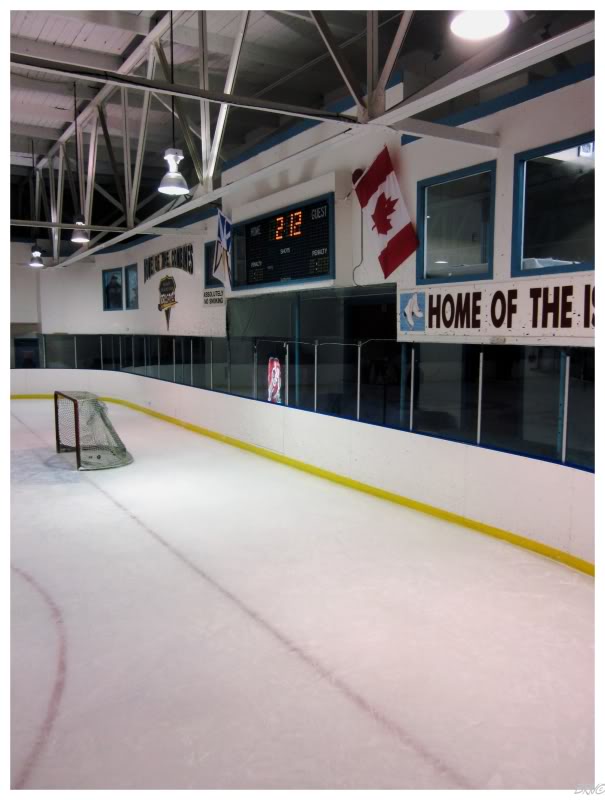
It wasn't entirely horrible as we entered town & checked out the arena...
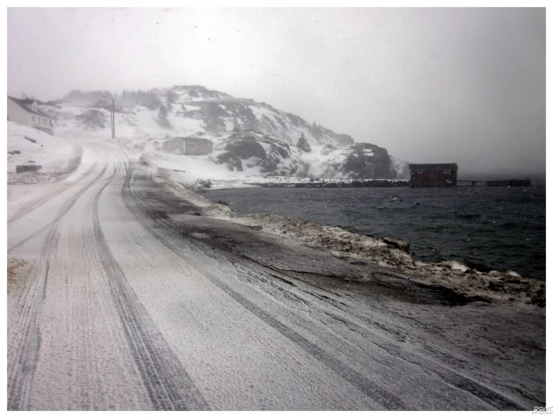
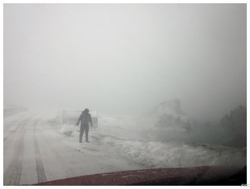
...but as we tried to see the town of Durrell (which directly touches Twillingate) we started to realize just how nasty & dangerous it was outside. White-out conditions and ice-coated wiper blades weren't exactly inviting us to drive down the curvy, oceanside roads.
Indeed, the incredible, body-moving wind we felt at the Twillingate Lighthouse was bringing about a quick end to our day.
We decided to eat Chinese in Twillingate and try to wait out the awful conditions. The Chinese tasted like the fryer hadn't been cleaned in years, and the conditions weren't improving.
We checked into our room at the empty Anchor Motel, then spent the afternoon/evening watching hockey & marveling at the rotten conditions outside our window.
We weren't in Fogo anymore.
We woke up to a beautiful day, but now Nicole's car was being finicky0 and we still had a 4 hour drive home. As a result, we only tackled the 13.5 km Route 346 to Pikes Arm, Cobb's Arm, Green Cove & TooGood Arm.
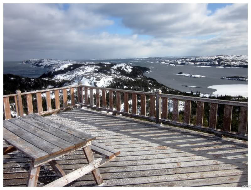
It was in Pikes Arm that we found a hiking trail at the end of town & decided to give it a try. Nicole was a little more prepared with snowshoes this year, but I was mostly fine with my natural snowshoes.
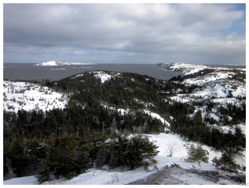
The reason I wanted to hike up here was because I knew there was a lighthouse on Bacalhao Island, about 6 km offshore from here.
I simply wanted to size up the islands and take in the lay of the land.
(If you scroll back up, this is the island to the left of the lay-of-the-land picture.)
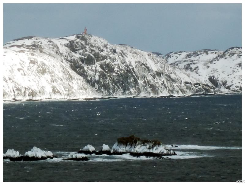
Although, when we reached the top of the hiking trail in Pikes Arm, we surprisingly could see the Bacalhao Island Lighthouse!
(You can normally see about 20 km, so I suppose I was only really surprised because I didn't think about it.)
Anyway, the only other pictures I've seen of this lighthouse - (http://www.lighthousefriends.com/light.asp?ID=1285) - make it look terrifying & intimidating; so I was really happy we climbed up here & discovered that it doesn't actually mark the entrance to the fiery gates of hell.
I noted this & wondered about when I could get back to the Twillingate area in the summertime.
Unfortunately, we had to get going after this. Our Pikes Arm hike was a small step towards a save of the weekend.
Fighting the Newfoundland winter doldrums can be a tricky thing.