Up North (Route)
April 2010.
Over the long weekend, Nicole and I decided to drive up north (see route). We didn't have enough plans to normally warrant the long journey to St. Anthony; but I think both of us were edging to go somewhere after a few months of minimal travel.
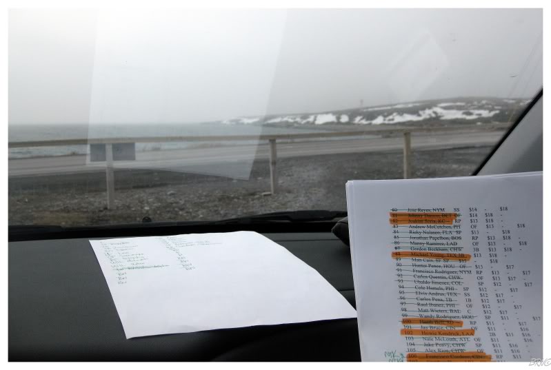
Along the way we had to stop because I had a fantasy baseball draft to conduct over her Blackberry...
...so we figured Port Aux Choix to be as good as anywhere to stop for a few hours.
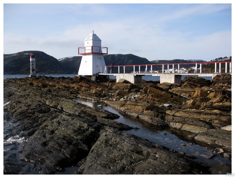
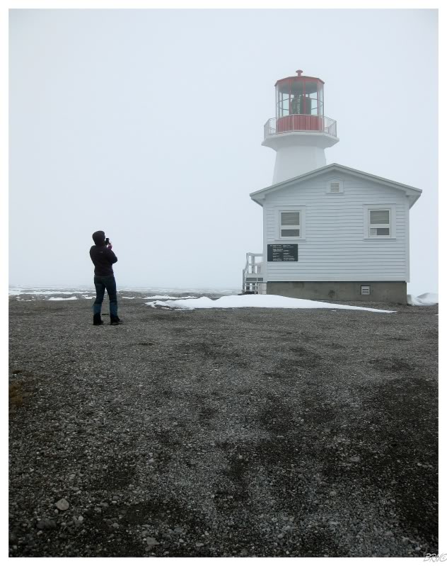
Since we were in the neck of the woods, we drove out to the lighthouse while there.
The fantasy draft lasted about 2 hours before we returned to driving northbound on Highway 430.
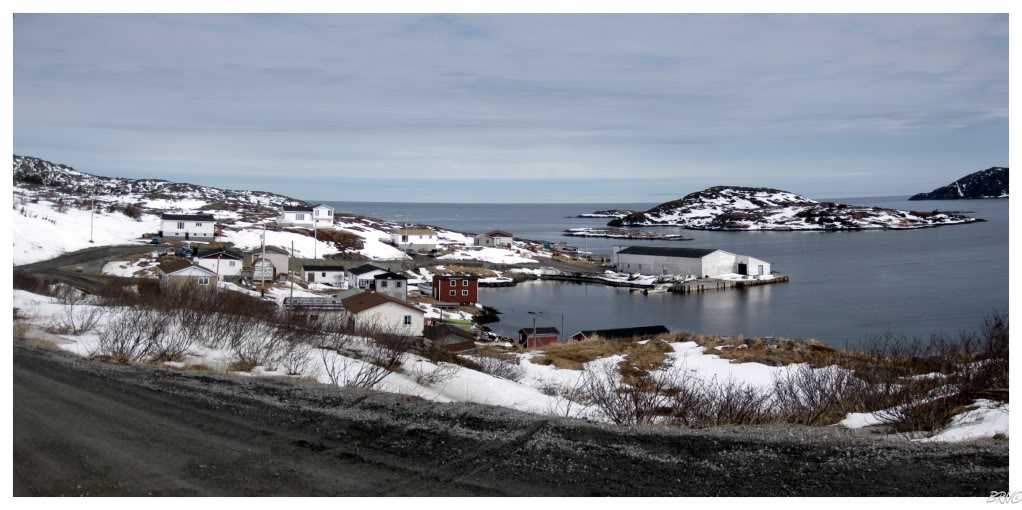
St. Anthony is the only sizable town on the Northern Peninsula, so that's where we had accommodation reservations for the night. Since we arrived in St. Anthony early, we used the last bit of daylight to check out nearby Goose Cove.
It was bigger than I imagined & attractive as well; even in April. I would recommend driving the extra 6km to those going to St. Anthony.
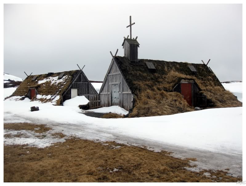
One of Nicole's reasons for wanting to go to the Northern Peninsula was L'Anse Aux Meadows.
So now I've seen the place in the fall and summer. This probably counts as winter? So I just need spring I suppose...
I turned into the actual town of L'Anse Aux Meadows since we were already all the way up here - I wanted a picture of the most northern town in Newfoundland.
I came to look at a map and realized that there's actually about 1/2 of an entire community more north than this...
One of my reasons for going on this trip was because I knew we would have lots of time & I could finish off all of the 430-series highways while up here. One of these highways was the 437 to Raleigh, Ship Cove & Cape Onion.
I was particularly excited for Raleigh because of the dismal description of the town on Wikipedia: "Recently with the collapse of the fisheries the town has been in a downhill economic spiral and most younger people have moved away searching for jobs. In 2006 there were less than five school age children - all of whom go to school in St Anthony as the local school has long closed. The population is aging and often after somebody dies another house gets boarded up and abandoned."
...so I thought we would pull into a desolate town with a few abandoned houses to photograph. What we found was apparently a healthy community. The school looked to be in use & the housing stock was in a lot better condition than what I've seen in many other NL communities.
We also found a lot of vertical striped siding though (as you can see in the above picture)...
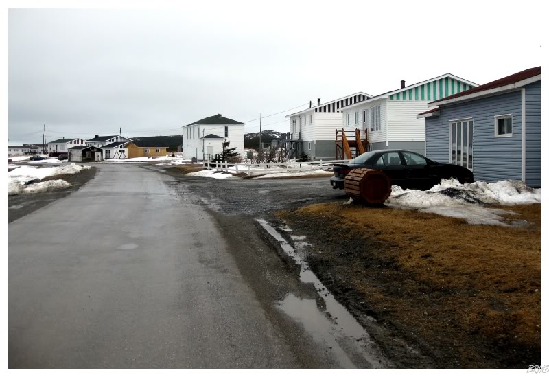
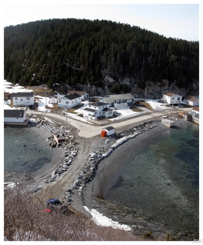
The other community along Hwy 437 is Ship Cove (pop. 102).
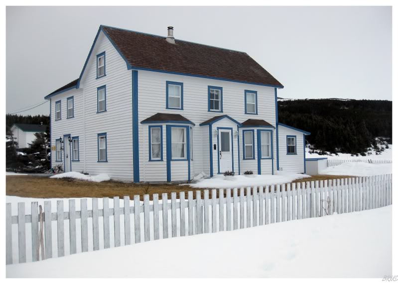
At the end of the road, as Ship Cove meets the ocean, we found the Adams house. A registered historic property for Newfoundland; William Adams was one of the first people to settle this area and he constructed this house in 1890. After additions in 1913 and 1938, the modified salt box look was achieved. The house was starting to fall into disrepair in the 1980s on this harsh coast, but 4th generation David returned and restored the house for use as a B&B.
It currently operates as the Tickle Inn B&B and I couldn't argue with a measly $65 to stay at this tranquil location.
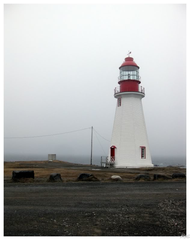
Moving along, Nicole hadn't seen Cape Norman Light yet, so we went over there too.
One of my favourite communities in NL (North Boat Harbour) is over there as well, so there was extra reason as I could drive her through that unique community after Cape Norman.

We were up in the early morning hours, so while it was only 1 p.m., it seemed like we had already completed a full day's worth of activities.
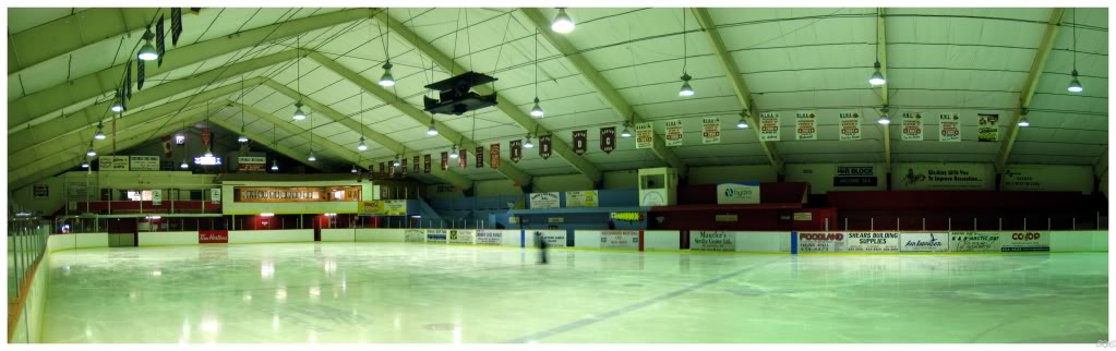
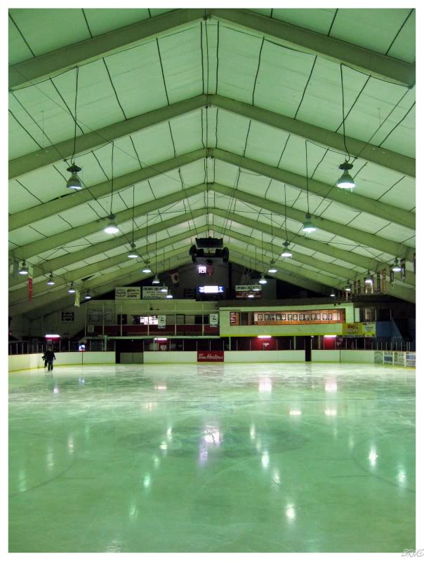
...but it was still only 1 o'clock and time for an open skate at St. Anthony's Olympia!
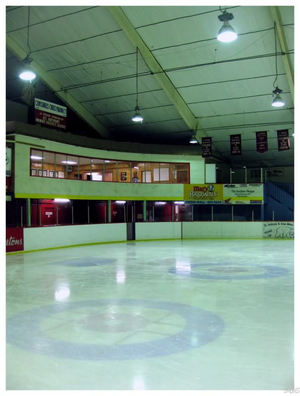
This may have been the activity that I was most excited for this weekend.
Yes I'm aware that I'm a dork, but I love these old hockey barns...
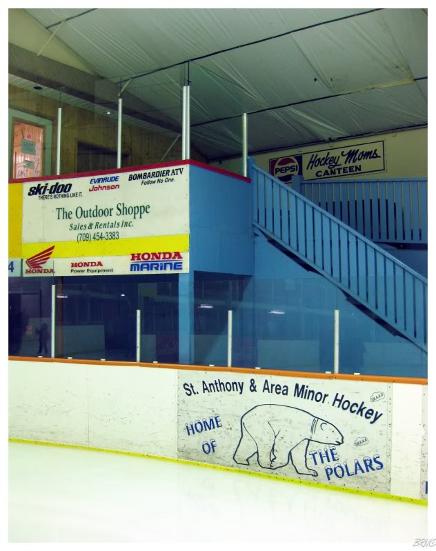
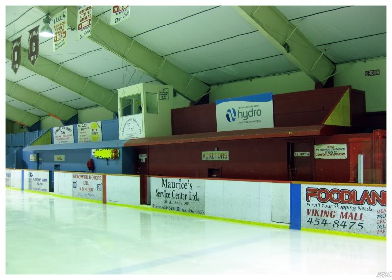
...and St. Anthony's Olympia seems to be one. I've searched the internet for the last hour without being able to find the age of the building, but I did find an article about a man who has worked at the Olympia for the last 30 years.
In addition, I had already taken pictures here on a previous trip, mostly because of the scary fundraiser painting out front. You see, their current goal is replacing this old barn with a new "Polar Centre". Therefore, while I would already have interest in this building on its own, I had extra motivation as it seems that it is not long for this world.
Newfoundland has a few unique, old barns; but it also has a lot of cookie cut arenas; so I'm beyond satisfied that my one open skate so far, was at St. Anthony's Olympia.
The bonus of having a lady friend to accompany you to such things as open skates, where you would look creepy if you went by yourself...
After an amazing hour of skating it was still afternoon, so I purchased some coffee and we checked out a trio of nearby communities.
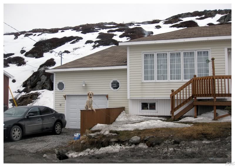
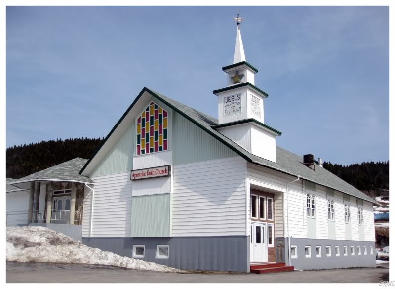
In Saint Carols, there was an appealing a-frame church, but we both became distracted and smiled at the sight of this golden retriever escaping the snow cover.
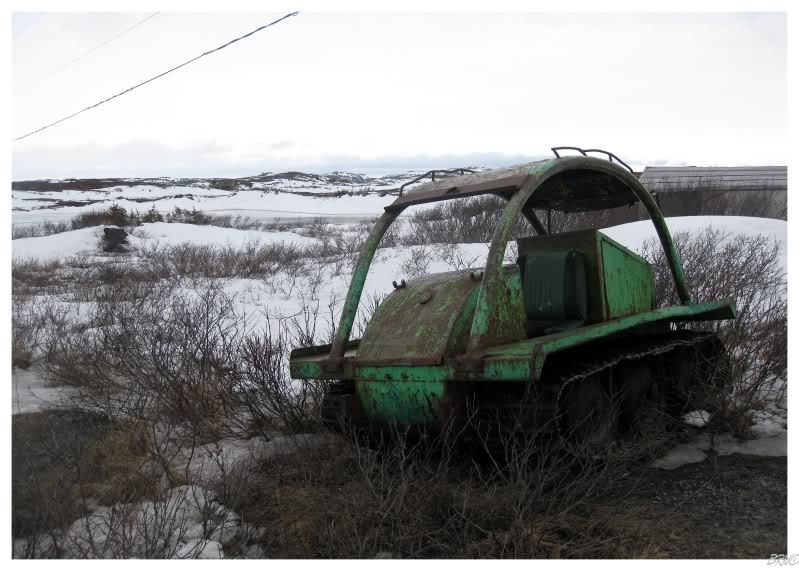
Just outside of Saint Carols was this ancient snowmobile...
...and this other beauty!
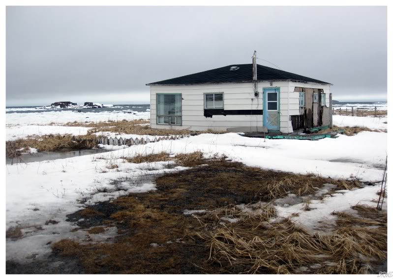
We also checked out St. Anthony Bight & Great Brehat. Great Brehat had a pleasant little trail which led to a picnic area with a view of the sea and a view of the community. It was sad though, as the house next to the trail had an overturned Intrepid in the front yard.
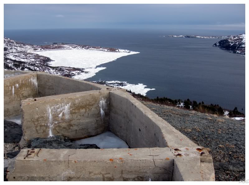
...I also thought the radar ruins of St. Anthony were worth seeing for Nicole.
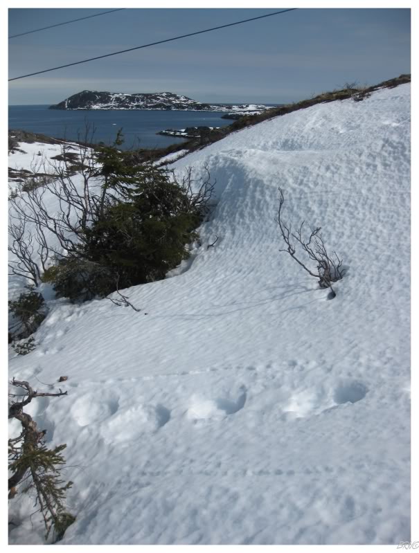
The road to the radar ruins is dodgy enough in the summer, so we had to walk quite a distance in these snowy conditions. I'm not going to lie either, I was concerned and on the lookout for polar bears, which are frequent spring visitors to St. Anthony.
Thankfully I didn't find any polar bears & we were able to depart the ruins to have a nice dinner at the local motel before watching some hockey & calling it a night.
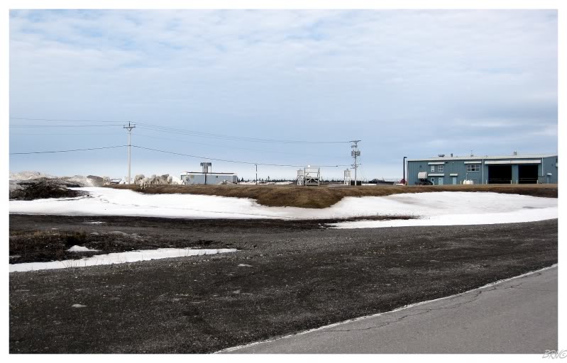
The next day we started towards home & I pulled onto the St. Anthony Airport service road because I was curious as to the airport's size.
...but what's that I see in the parking lot?
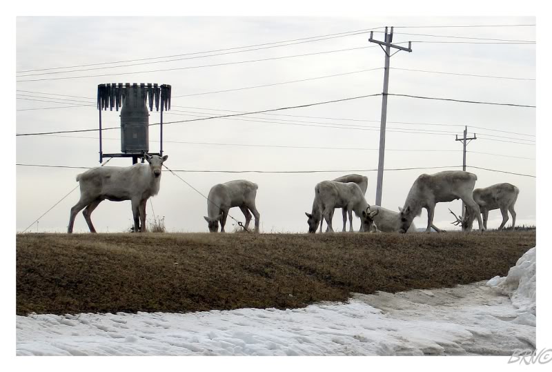
Caribou!
Yep, half of them were even standing in the airport rental car lot and eating the fringe grass!
Eventually they moved about 10 feet from the parking lot as we pulled into the sleepy airport. They would eventually move a bit further away, but that was after minutes of us snapping pictures and observing them.
It would certainly be something to arrive at some rural airport and look out the window to notice a caribou herd...
St. Anthony's airport is along the way, but we did have an entire day ahead of us and so, we actually had plans for this day as well, not to simply just head home.
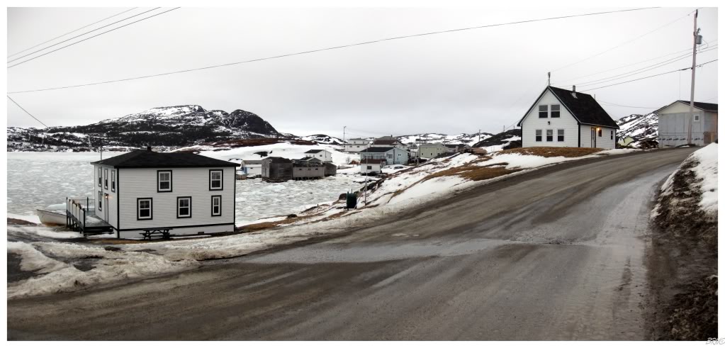
We attacked an area south of St. Anthony where I hadn't explored much. First up was Highway 438 to Croque/Grandois. Grandois is pictured above and this was another reason I was excited for this trip - I had watched a CBC special on Grandois where Grandois had one last student and he attended a nearby school with only 2 other students; the town waiting for him to graduate, so that they could close the school.
I'm not sure what I expected of Grandois from that CBC special, but I found the community lively enough. I didn't see the school I wanted a picture of & the few abandoned houses didn't look worth it...still though, I was happy to see Grandois after watching that intriguing special.
Another reason I was excited for Grandois was because there is a hiking trail from the hamlet to the nearby resettled community of St. Julien's.
Unfortunately, we noticed tracks on the way to St. Julien's. Since the snow was crunchy, it wasn't completely evident what animal the tracks belonged to - but in one of those funny Newfoundland moments - Nicole, a girl from Newfoundland, looked at the nearby feces and informed me that it wasn't black bear or moose feces. I found this funny because I'm certain that most Southern Ontarioan girls cannot look at wild animal shit and let you know if it's safe to be in the area.
Anyway, I hope this hike is enough for me to return to Grandois one day, so that I can visit St. Julien's outside of polar bear season.
Next up was the 433 to Englee & Rodickton.
Englee is at the end of the highway & both Nicole and I were really impressed. It is actually three islands connected by causeways and the streets wind along the various harbours. In fact, I often say that Englee is my 2nd most attractive community in NL (behind only Rose Blanche).
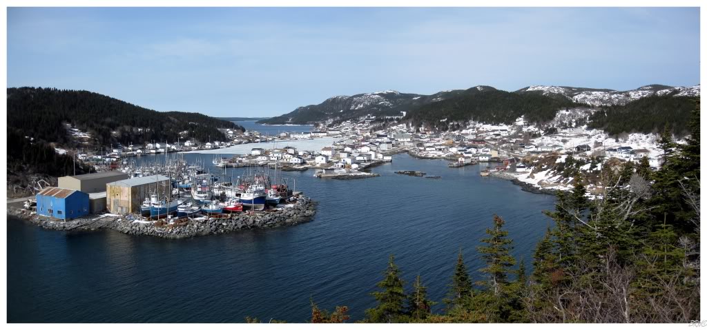
We were so impressed that we climbed a large number of stairs for a better view of Englee atop Barred Island...
I liked this funky little church in Englee. It is what I would imagine to see in some tiny Scandinavian or Soviet village.
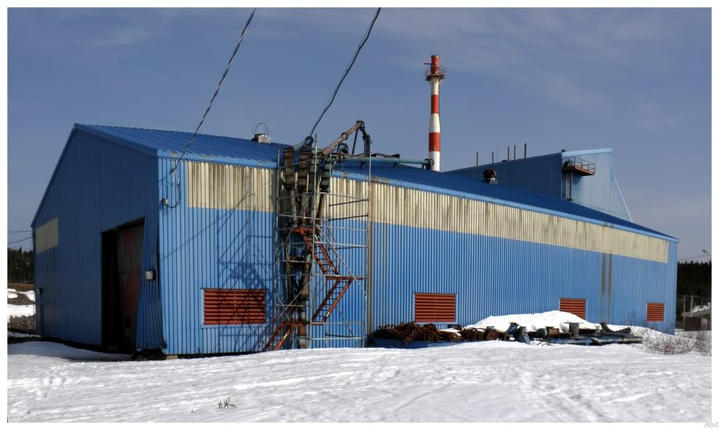
On the way through Roddickton, I watched one building as I had researched prior to this trip and suspected some abandonment in town...
So although a good weekend needs some abandoned buildings, a particle board factory may not be the most exciting.
Moving right along...
Last up was Conche.
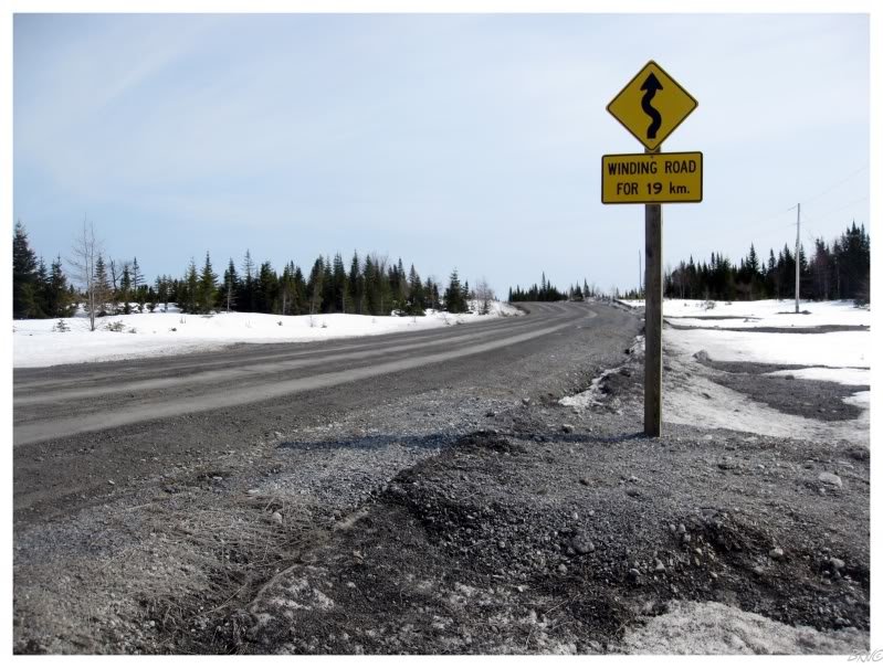
A 21km(15mi) gravel Highway 434 leads to the village of 225 people.
You were wondering why I would drive a 21km gravel road for a small community...right?
Well now you know.
I was as excited to get my 27th lighthouse this weekend, as I was to go for an open skate at the Olympia.
Built in 1914 and deactivated in 1992, she was hurting for a while before the residents of Conche fixed her up.
A fantastic job by them!
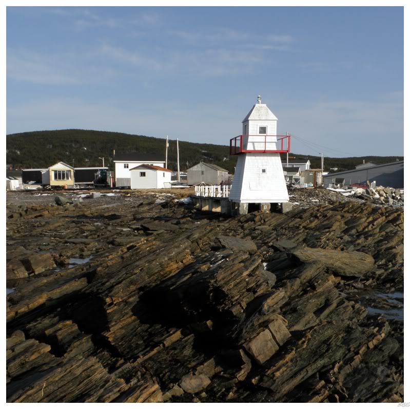
Although it's funny, the thing I remember most about Conche is not that lighthouse, but how you drive on that 21km gravel road; with not very much elevation or forest density change...until you get to within 500m of Conche and boom! The trees just break and the road dips from the heights you were traveling down to Conche - revealing a spectacular view.
We parked our car there and stood in amazement as you can observe all of the T-shaped peninsula that Conche is situation upon, as well as every building in the town and kilometres of the surrounding sea.
It was truly amazing & if anyone would listen to me, I would try to convince them to put their own car through the gravel pain from this road so that they could see this same spectacular view.
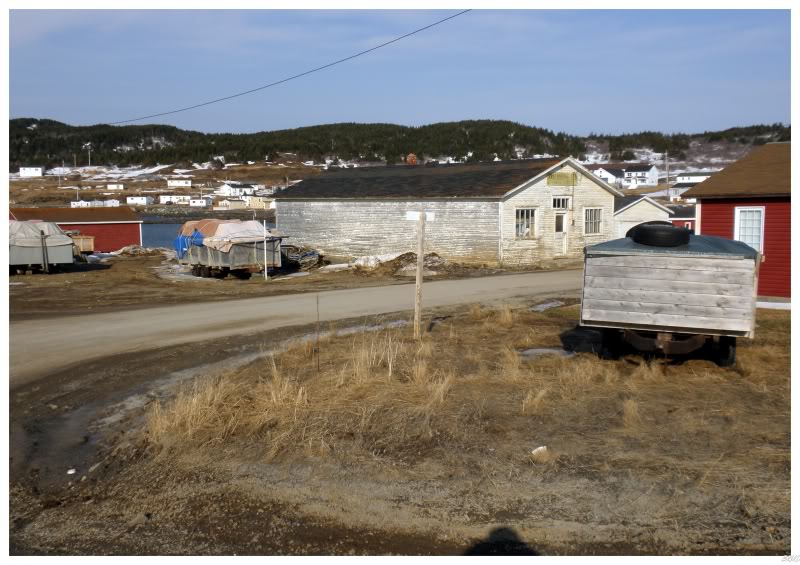
Nearby Conche buildings...
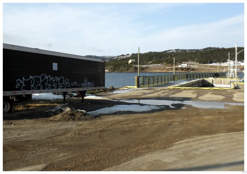
Right next to the lighthouse was a semi trailer with average graffiti on it. I'm not saying it's astounding graffiti at all, but it's good enough that you have to wonder about how it arrived here in Conche - did this guy happen to come to Conche? did the truck driver park in some random city?
It left me wondering...
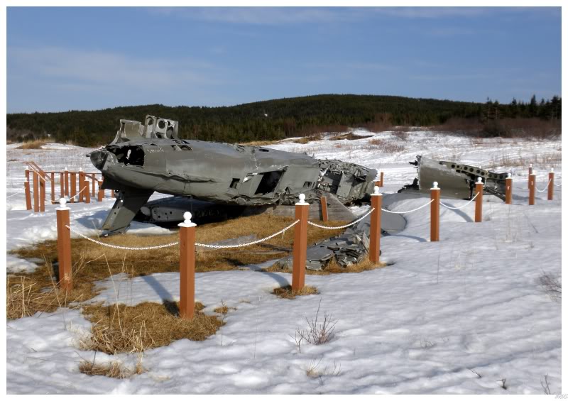
Another thing I wanted to see in Conche was the plane wreckage they have in their local park.
On November 30, 1942; a Boston BZ 277 crashed at Conche en route from Gander to Greenland. The plane crashed because the pilot was unsure of the fuel level and didn't know their proximity to the Newfoundland coast - thankfully, all 3 people aboard survived the plane crash & local residents were paid to keep an eye on the plane to prevent scrapping.
Afterward it was a long drive back, but I had now drove on all of the 430-series highways of the Northern Peninsula.
End.
Sources:
1 - Wikipedia - Raleigh, Newfoundland and Labrador
2 - Tickle Inn at Cape Onion - History
3 - 1992 Southcott Award - Tickle Inn B&B/Adams House
4 - BBC - WW2 People's War - Plane Crash in Conche, 1942