Let's get to work.
Fall 2008
I arrived in Western Newfoundland on a Sunday night and after some frustration with the road network, found a hotel for the night because I had work in the morning.
After work, I took to phoning around and trying to find a place to rent, to no avail. I tried Tuesday and Wednesday as well, but ended back at the Hotel Corner Brook both nights. Who knew finding a place to live in this town would be so difficult? Everywhere I went, there were rooms available for January, for a couple months from now, for anytime which wasn't tonight.
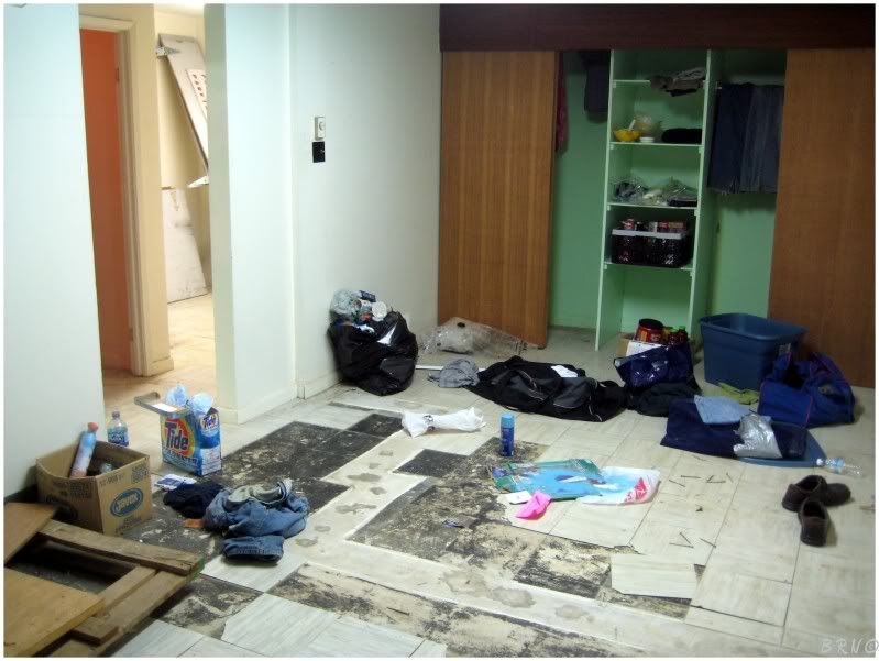
That was until I came to an apartment complex where the landlord showed me a room - then told me it was available at the start of November. She saw my head drop and wondered what the problem was.
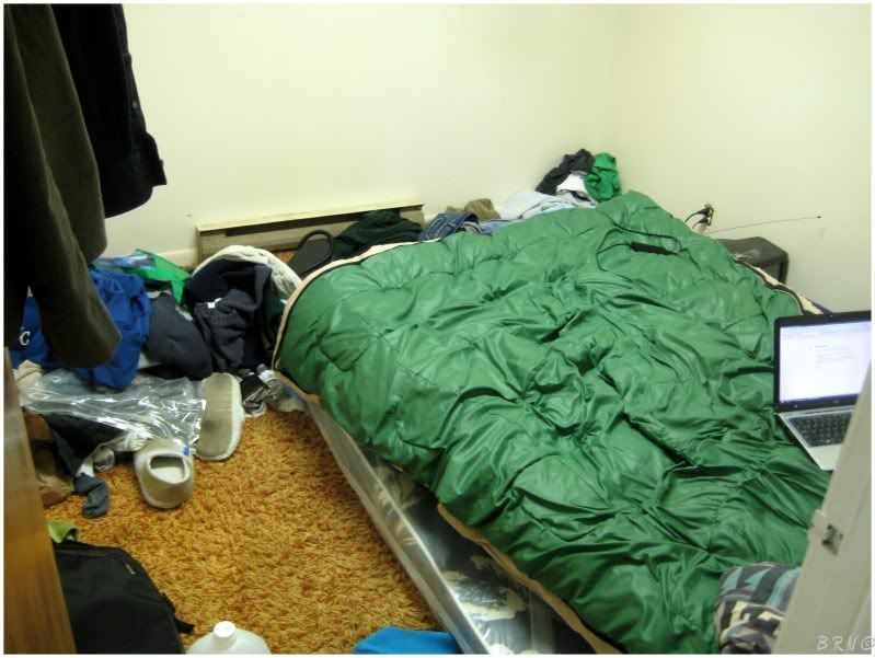
I explained to her my predicament and she stated that she liked me0, so she would put me up in the old apartment office room until the start of November.
Now that I had my life sort of cemented, it was now time to get out and see some of this foreign land!
First off, we need a little NFLD geography lesson to orientate everyone about the goings on for this web site over the next little while.
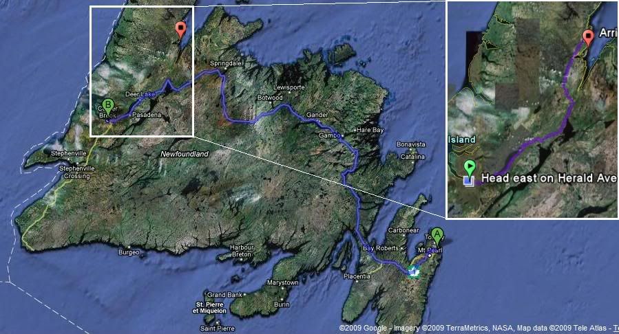
First, the 'B' pushpin is where I'm located. Second, a common misconception involves the size of the island. The Rock is actually a lot larger than you probably think - the blue route from the west coast at 'B' over to the eastern coast at 'A' is 700km(435mi) or 7 and a 1/2 hours of driving.
The island is largely forested and untamed. The Trans Canada Highway leads from Port-aux-Basques at the southwest tip to St.John's in the east (the 'A' pin). Other than the Trans Can Highway, there is only a collection of secondary highways which branch off to small communities often found along the coast.
Therefore when you plan on going anywhere, you have to travel on the Trans Canada Highway for a while until you reach the highway which you're actually looking to travel on.
Since I had no knowledge of the new land, I arbitrarily looked at the large wall map in my office and chose to check off Highway 4200.5. One reason was because it wasn't that far away (about 160km/100mi) and the second was because it was the opposite direction of the portion of highway which delivered me to Corner Brook.
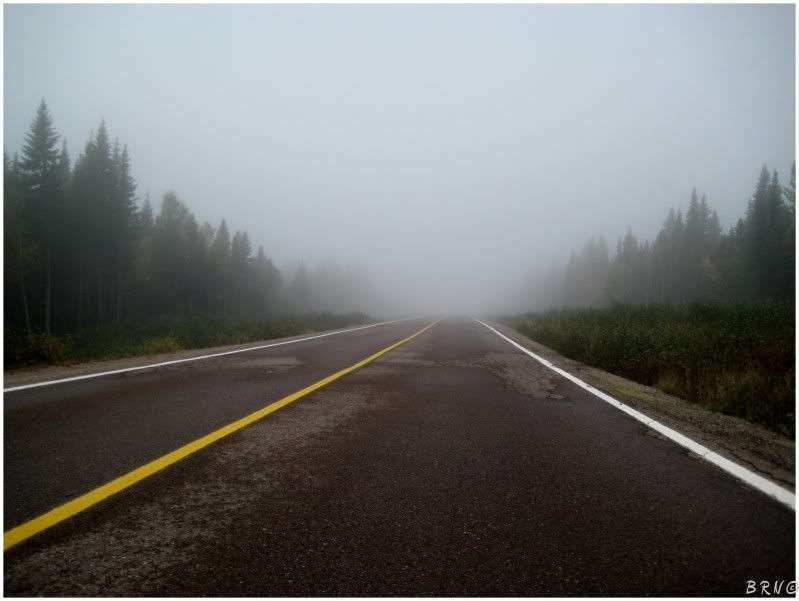
I had to drive for an hour until the beginning of Highway 420, then the above picture is about halfway to the end. The first portion of the highway is forest and nothing else. I parked my car in the middle of the road and took this picture, after counting only 2 cars coming from the other direction in the 45 minutes I was on Highway 4201 up until this point.
I decided to drive to the end first, then work my way back, checking out the 3 communities on the highway.
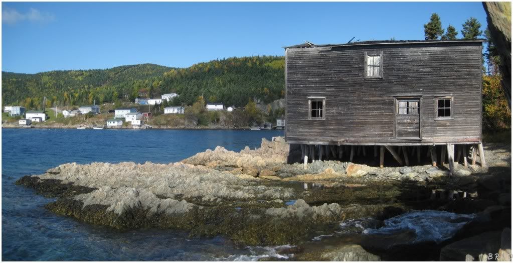
At the end of Highway 420, there was a little turn around and a park, where I got out to take a picture of the ocean and spotted this old fishing shack.
Navigating down the rocks, I made my way over to check it out.
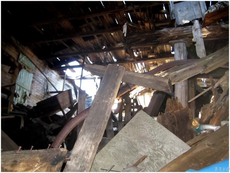
The only way inside was a window about 6 feet off the ground. The wooden window didn't look like it would hold my weight, then a look inside made me write off the embargo altogether.
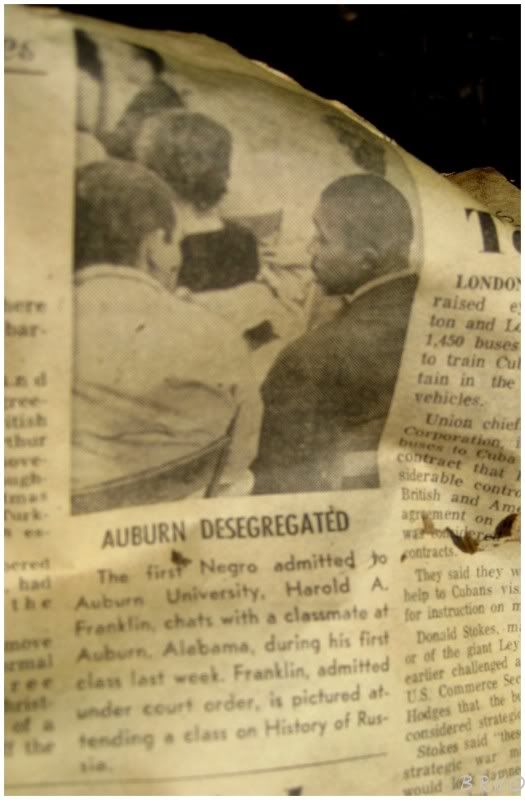
Some old newspapers could be seen through a small crack in the building though.
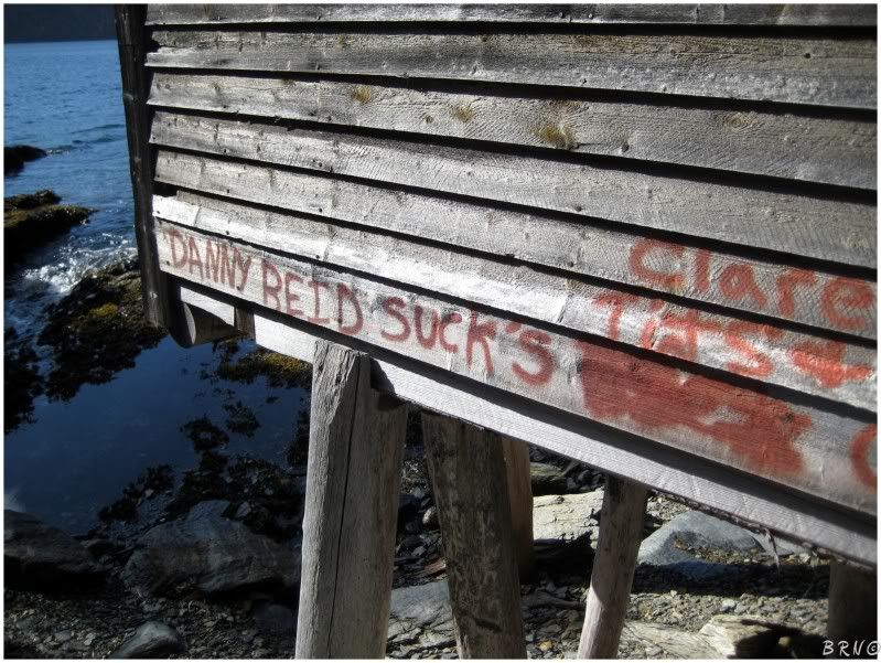
Also, it was apparent that Danny Reid sucks so much that he sucks with a possessive s!
This fishing shack and the community it belongs to, is Jacksón's Arm - the furthest community from the Trans Canada Highway on Highway 420.
The amazing thing is that public roads from Jacksón's Arm to nearby Deer Lake and Corner Brook were only constructed in 1962. Hydro service only came in 1966 and telephone service came in 1968.
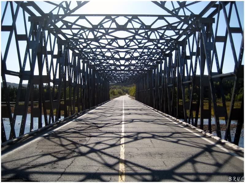
Heading back, there was a fork in the road where the second community was located. Since I had to slow for the fork, I decided to get out of the car and check out this bridge.
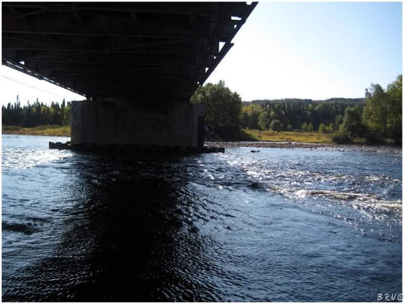
...and the underside of it.
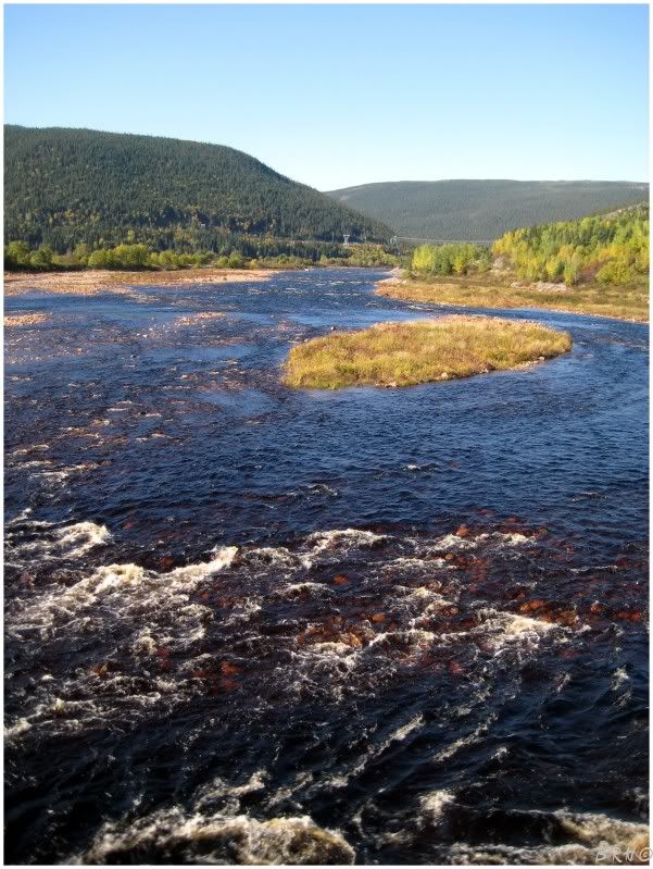
The scenery wasn't half bad either.
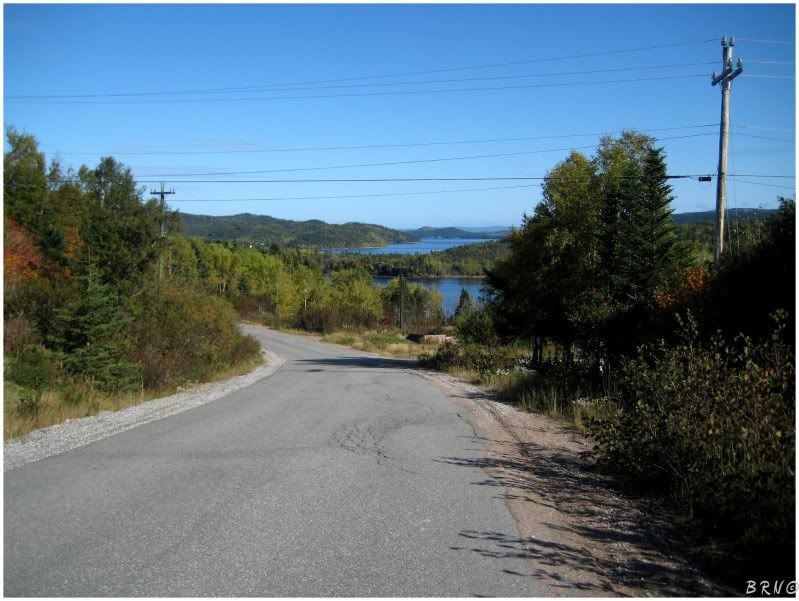
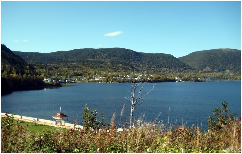
Taking the fork east, you come upon Sóp's Arm.
Sóp's arm was a tiny village, comprised of a collection of fishing shacks, houses and a resort/getaway type building.
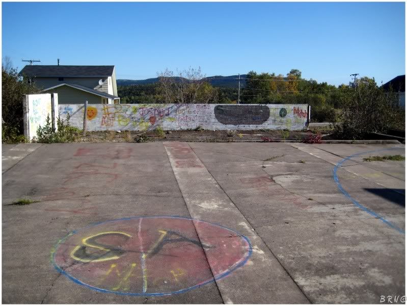
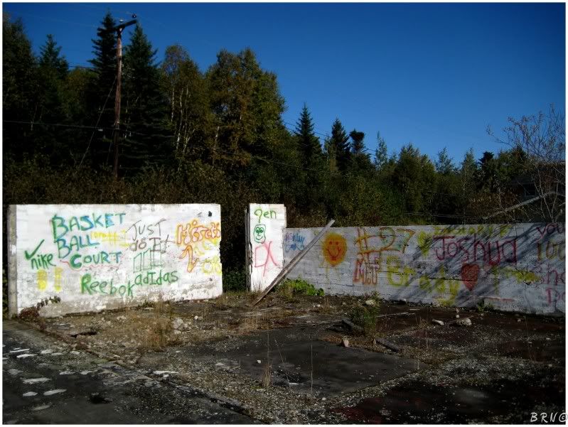
The most interesting thing I could find was the ruins of what appeared to be the old school an old gas station and grocery store that burned down around 1984. It was strange to see small town 'positive' graffiti instead of the typical 'smoke weed 420 brah!' and 'Slayer' tags.
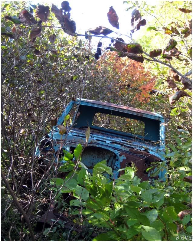
I was sort of edging to explore anything, so I thoroughly looked around these ruins, only to find a truck in the woods.
The last of the three communities was Póllard's Point. It was a nice little place, but it didn't have much in the realm of interesting items.
I drove to the end, turned around and was heading back towards the highway...
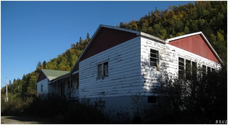
...when I caught from the corner of my eye, what looked to be a school atop a hill with some broken windows.
I had prepared myself for disappointment as I didn't think there would be much in these small towns, so I was very excited to see this. I parked the car and hurried out and up the hill.
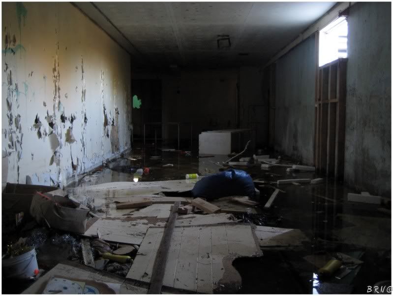
In a move probably far unnecessary, I quickly scurried into a ground floor window which dropped to the basement - including the 4-6 inches of standing water.
Well, at least it wasn't significantly deep...
I could care less about my soaker, since I was finally inside something.
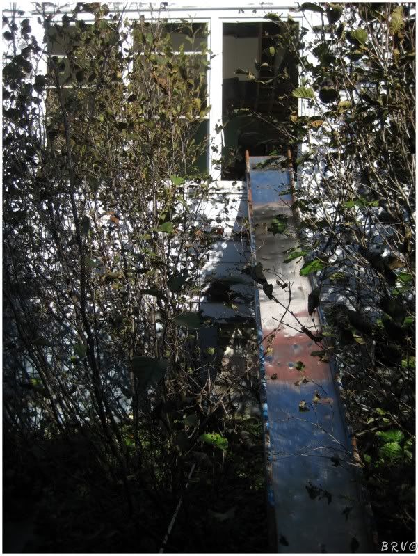
Although, I was still amused when I found this other entrance - the old school's slide posted up to the second story window.
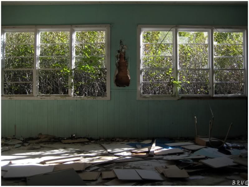
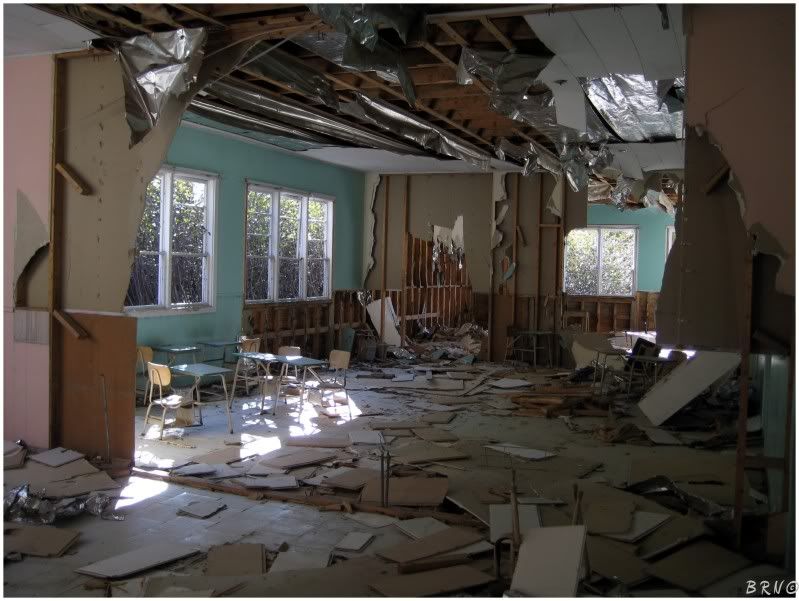
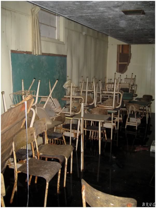
The place was blown out overall. You can see the 3 'rooms' in the above picture. There was another two behind me and a hallway to my right which was the main hallway leading to each of the 5 rooms and to the basement.
Another surprising thing, looking back now, was just how wide open and accessible this building was. I know of two other schools nearby and both have double plywood boards over the windows with (seriously) 10 screws holding each board on.
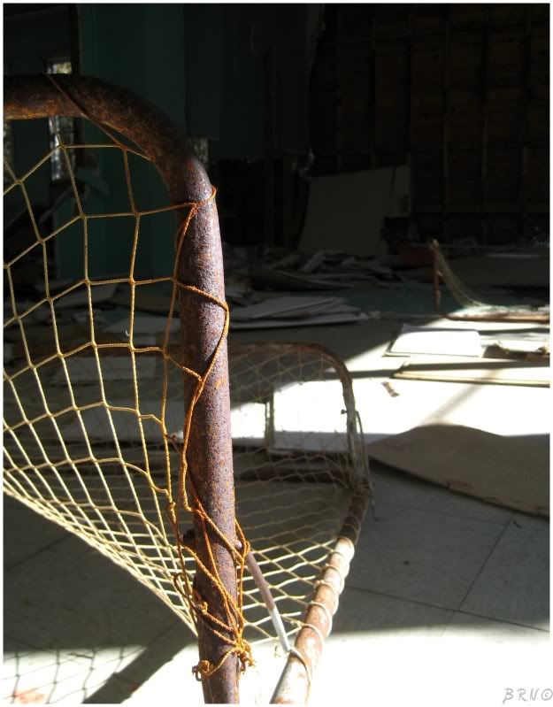
Hmmm....water in the basement? Hockey nets upstairs?
This building was giving me some ideas, it's too bad I thought at this point you couldn't travel in the winter in Newfoundland, because I would have went and cleared out the big area in the basement and put the nets down for the wintertime.
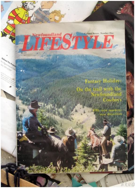
Looking around on the floor, I found that I could read about Newfoundland cowboys!
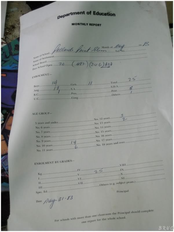
There were also a few enrollment reports to be found.
Since the future looked grim in terms of things to get inside in Newfoundland, I felt compelled to go back down to the basement and see what else was down there.
My shoes were already soaked and the the water was only 6 inches deep at most, so whatever...
I discovered the above room where they must have put all the desks at closure and not much else - a bathroom, a janitorial closet and a wheelchair ramp. If you're in Póllard's Point, you can probably skip the basement.
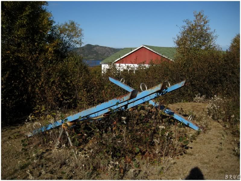
I wandered out back and found all of the old playground equipment.
Coming to the front of the building, I took a few exterior pictures and went on my way.
I often think about Póllard's Point as it's more than likely still there, and only 2 and a half hours away.
Maybe I will return one day.
Navi